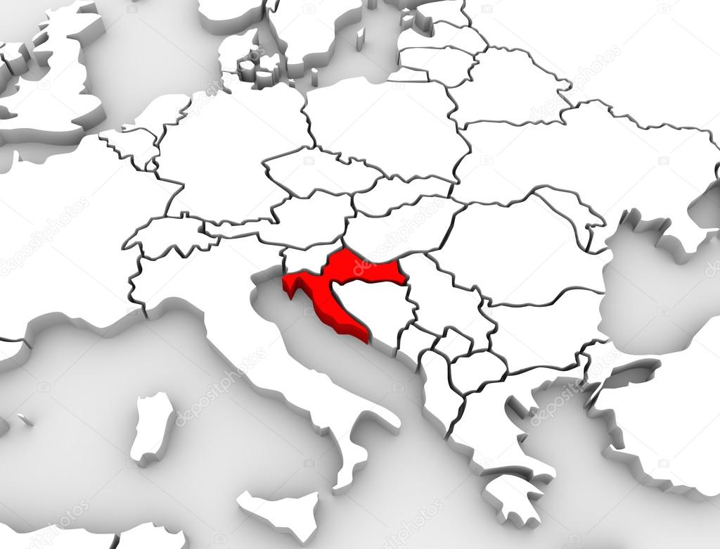
크로아티아 국가 3d 지도 유럽 대륙을 추상화 — 스톡 사진

크로아티아 국가 3d 지도 유럽 대륙을 추상화 — 스톡 이미지

3d illustrated abstract map of Europe and the country of Croatia highlighted in red

 — 님의 사진 iqoncept

동일 시리즈:

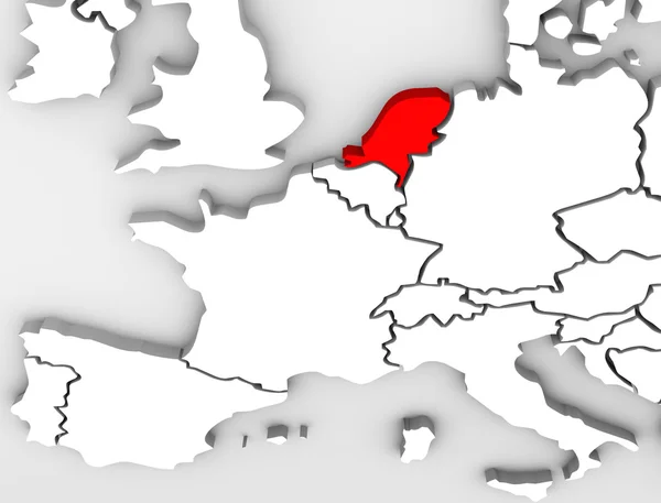
An abstract 3d map of Europe the continent and several countries, with the Netherlands highlighted in red, surrounded by Belgium France, the United Kingdom, Germany and other European states
네덜란드 국가 추상화 3d 지도 유럽 대륙 — 스톡 사진
An abstract 3d map of Europe the continent and several countries, with Switzerland highlighted in red
스위스 국가 추상 지도 유럽 국가 — 스톡 사진
The country of Slovakia on an abstract map of Europe with nations such as Poland, Austria and Czech Republic surrounding it
슬로바키아 국가 3d 지도 유럽 대륙을 추상화 — 스톡 사진
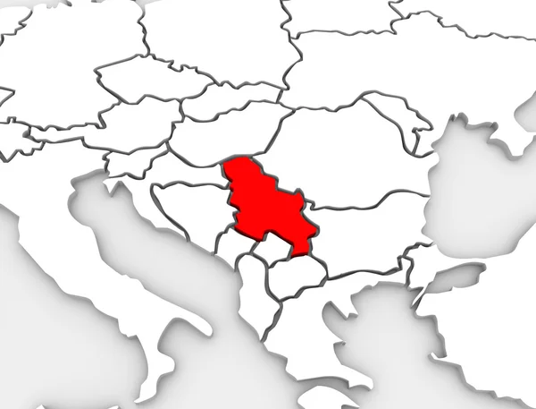
A 3d abstract illustrated map of the country of Serbia in the southern region of the continent of Europe
세르비아 국가 추상 3d 그림된 지도 유럽 대륙 — 스톡 사진
Great Britain or England or the United Kingdom highlighted in red on an abstracted illustrated 3d render map of the continent of Europe
영국 영국 지도 북부 유럽 영국 — 스톡 사진
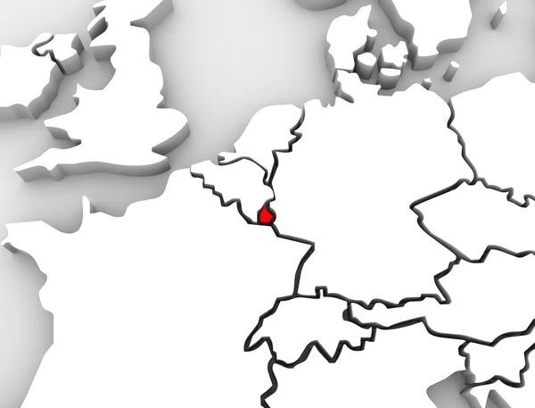
An abstract 3d map of Europe the continent and several countries, with Luxembourg highlighted in red alongside countries such as France, Belgium and Germany
룩셈부르크 3 차원 개요 유럽 지도 — 스톡 사진
An abstract 3d map of Europe with the country Ireland highlighted in red surrounded by other nations such as the United Kingdom, France, Germany and Spain
아일랜드 3d 지도 북부 유럽 국가 추상화 — 스톡 사진
An abstract 3D illustrated map of southern Europe with Greece targeted in red
그리스 그림 나라 지도 유럽 3d 대륙 — 스톡 사진
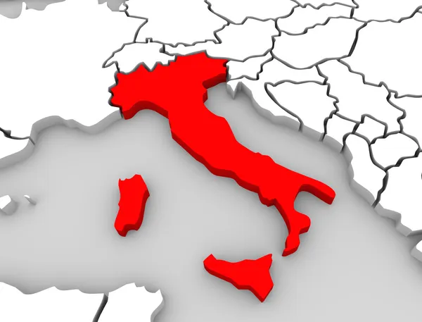
A 3d abstract map of the country or nation of Italy in central Europe surrounded by the Mediterranean Sea
이탈리아 3d 개요 중앙 유럽 국가 지도 — 스톡 사진
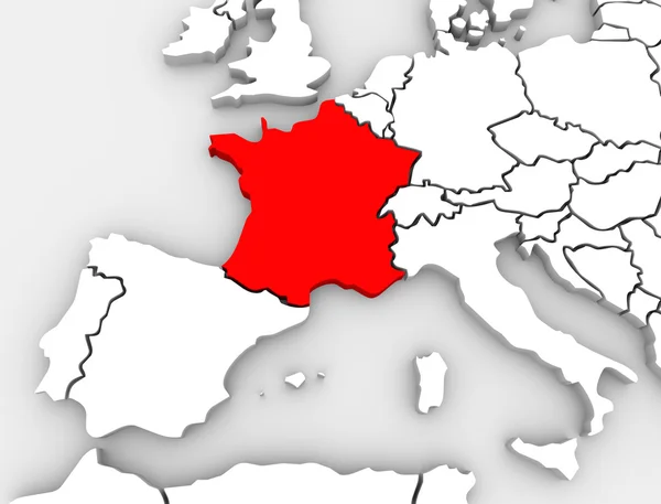
An abstract 3d map of Europe the continent and several countries, with France highlighted in red, surrounded by Spain, the United Kingdom, Germany and other European states
프랑스 추상화 3d 지도 유럽 대륙 — 스톡 사진
The country of Spain highlighted on an abstract 3D map of Europe
유럽 추상적인 3d 지도 스페인 국가 국가 — 스톡 사진
A 3d illustrated abstract map of the European continent with the county of Portugal highlighted in red, alongside countries such as Spain, Germany and France
유럽 지도 포르투갈 국가 3d 그림 — 스톡 사진
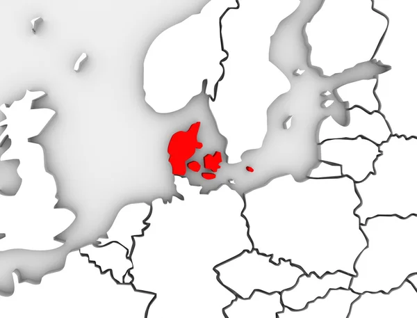
An illustrated 3d abstract map of northern Europe continent and Scandanavian countries with the country of Denmark highlighted in red
덴마크 추상 3d 일러스트 북부 유럽 지도 — 스톡 사진
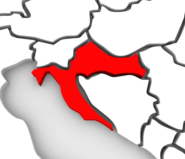
An abstract 3d map of Europe and the central or eastern region with Croatia highlighted in red and surrounding countries bosnia, herzegovina, serbia, slovenia and others
크로아티아 국가 추상 3d 지도 동부 유럽 — 스톡 사진
An abstract 3d map of Europe the continent and several countries, with Spain highlighted in red, surrounded by Portugal, France, the United Kingdom, Germany and other European states
스페인 추상 유럽에서 3d 지도 국가 국가 — 스톡 사진
A 3d abstract map of the country or nation of England, the United Kingdom or Great Britain in Northern Europe surrounded by the Atlantic Ocean
영국 3d 개요 지도 유럽 영국 — 스톡 사진

사용 정보

표준 또는 확장 라이센스에 따라 이 로열티-프리 "크로아티아 국가 3d 지도 유럽 대륙을 추상화" 사진을 개인적 및 상업적 목적으로 사용할 수 있습니다. 표준 라이센스는 광고, UI 디자인, 제품 패키지를 비롯한 대부분의 사용을 커버하며, 최대 500,000부까지 인쇄할 수 있습니다. 확장 라이센스는 무제한 인쇄 권한과 함께 표준 라이센스 하의 모든 사용을 커버하며 다운로드한 스톡 이미지를 상품, 제품 재판매 또는 무료 배포에 사용할 수 있도록 합니다.

이 스톡 사진 구입 시 최대 4200x3200 의 고해상도로 다운로드할 수 있습니다. 업데이트 날짜: 2013년 5월 13일