오클라호마 레드 추상 3d 주 지도 미국 상태 아메리카 — 스톡 사진

오클라호마 레드 추상 3d 주 지도 미국 상태 아메리카 — 스톡 이미지

A red abstract state map of Oklahoma, a 3D render symbolizing targeting the state to find its outlines and borders

 — 님의 사진 iqoncept

동일 시리즈:

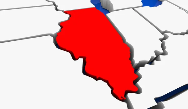
일리노이 일리노이 주 미국 3d 애니메이션된 주 지도
일리노이 일리노이 주 미국 — 스톡 사진
A red abstract state map of New Mexico, a 3D render symbolizing targeting the state to find its outlines and borders
뉴 멕시코 붉은 추상 3d 주 지도 미국 미국 미국 — 스톡 사진
A red abstract state map of Missouri, a 3D render symbolizing targeting the state to find its outlines and borders
미주리 붉은 추상 3d 주 지도 미국 상태 아메리카 — 스톡 사진
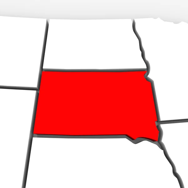
A red abstract state map of South Dakota, a 3D render symbolizing targeting the state to find its outlines and borders
사우스 다코타 붉은 추상 3d 주 지도 미국 상태 아메리카 — 스톡 사진
A red abstract state map of Arkansas, a 3D render symbolizing targeting the state to find its outlines and borders
붉은 추상 3d 주 지도 미국 아칸소 주 미국 — 스톡 사진
A red abstract state map of Indiana, a 3D render symbolizing targeting the state to find its outlines and borders
인디애나 붉은 추상 3d 주 지도 미국 상태 아메리카 — 스톡 사진
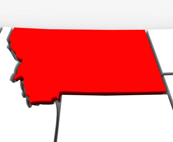
A red abstract state map of Montana, a 3D render symbolizing targeting the state to find its outlines and borders
몬타나 붉은 추상 3d 주 지도 미국 상태 아메리카 — 스톡 사진
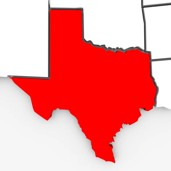
3d 렌더링 텍사스의 상태의 지도
텍사스 물리게 지도-3d 일러스트 — 스톡 사진
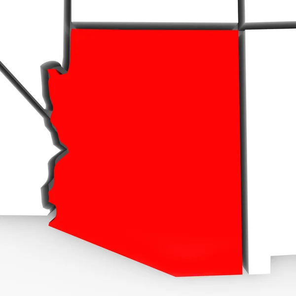
A red abstract state map of Arizona, a 3D render symbolizing targeting the state to find its outlines and borders
애리조나 붉은 추상 3d 주 지도 미국 상태 아메리카 — 스톡 사진
A red abstract state map of Ohio, a 3D render symbolizing targeting the state to find its outlines and borders
붉은 추상 3d 주 지도 미국 오하이오 주 미국 — 스톡 사진
Illinois IL State Map Chicago Travel Business Destination Location 3d Illustration
Illinois State Map Chicago Travel Business Destination Location Illustration — 스톡 사진
A red abstract state map of Oregon, a 3D render symbolizing targeting the state to find its outlines and borders
붉은 추상 3d 주 지도 미국 오 레 곤 주 미국 — 스톡 사진
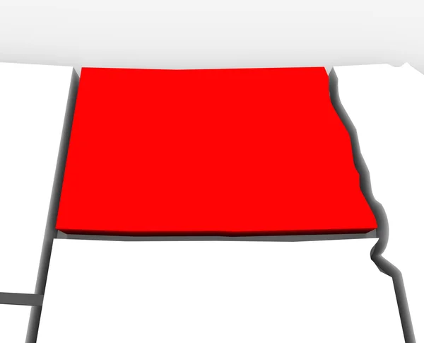
A red abstract state map of North Dakota, a 3D render symbolizing targeting the state to find its outlines and borders
노스 다코타 붉은 추상 3d 주 지도 미국 상태 아메리카 — 스톡 사진
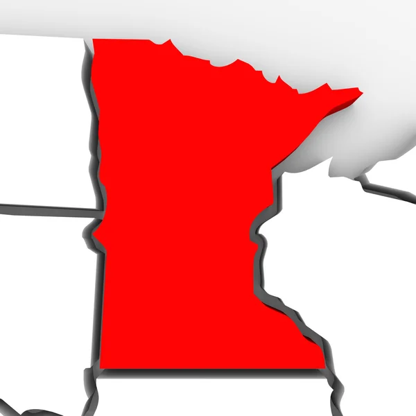
A red abstract state map of Minnesota, a 3D render symbolizing targeting the state to find its outlines and borders
미네소타 붉은 추상 3d 주 지도 미국 상태 아메리카 — 스톡 사진
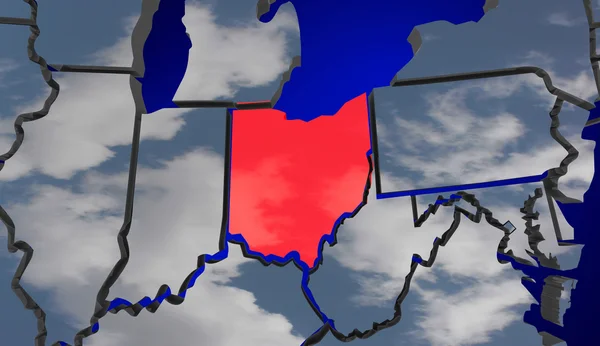
오하이오 지도 구름 미국 미국 미국 환경 기후 변화 오 3d 그림
오하이오 지도 구름 미국 — 스톡 사진
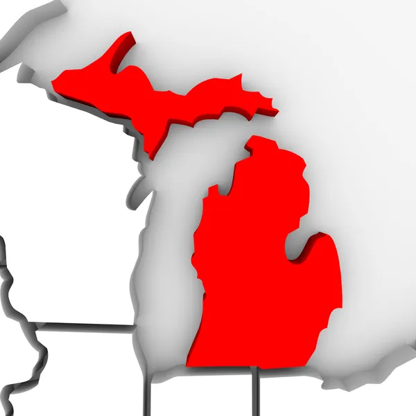
미시간 주 지도의 3d 렌더링
미시간 물리게 지도 — 스톡 사진

사용 정보

표준 또는 확장 라이센스에 따라 이 로열티-프리 "오클라호마 레드 추상 3d 주 지도 미국 상태 아메리카" 사진을 개인적 및 상업적 목적으로 사용할 수 있습니다. 표준 라이센스는 광고, UI 디자인, 제품 패키지를 비롯한 대부분의 사용을 커버하며, 최대 500,000부까지 인쇄할 수 있습니다. 확장 라이센스는 무제한 인쇄 권한과 함께 표준 라이센스 하의 모든 사용을 커버하며 다운로드한 스톡 이미지를 상품, 제품 재판매 또는 무료 배포에 사용할 수 있도록 합니다.

이 스톡 사진 구입 시 최대 4096x3875 의 고해상도로 다운로드할 수 있습니다. 업데이트 날짜: 2012년 11월 12일