Surin Province Thailand Low Resolution Satellite Map Corner Auxiliary Location — 스톡 사진

Surin, province of Thailand. Low resolution satellite map. Corner auxiliary location maps — 스톡 이미지

Surin, province of Thailand. Low resolution satellite map. Corner auxiliary location maps

 — 님의 사진 Yarr65

동일 시리즈:

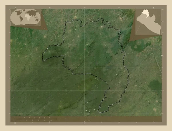
로 파, 라이베리아 백국. 고해상도 위성 지도. Corner auxiliary location
라이베리아 고해상도 Corner Auxiliary Location — 스톡 사진
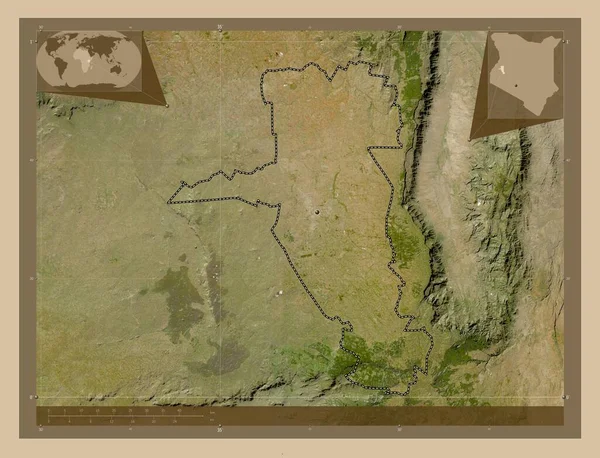
Uasin Gishu, 케냐의 주. 저 해상도 위성 지도. 그 지역의 주요 도시들의 위치. Corner auxiliary location
Uasin Gishu 케냐의 해상도 지역의 도시들의 Corner Auxiliary Location — 스톡 사진
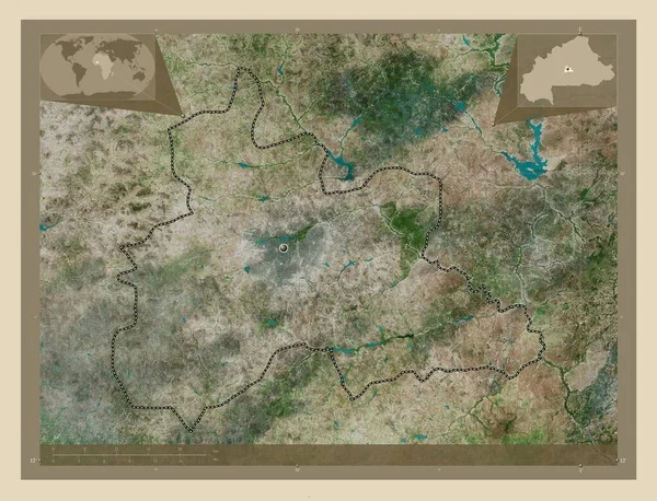
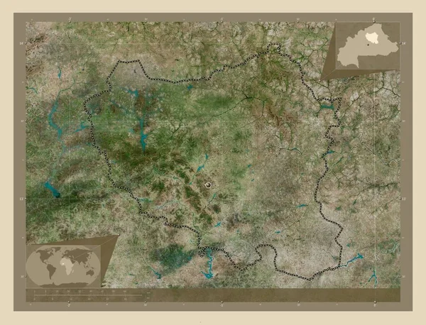
중앙, 부르키나파소 지역. 고해상도 위성 지도. Corner auxiliary location
부르키나파소 고해상도 Corner Auxiliary Location — 스톡 사진
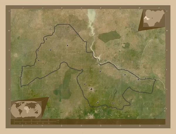
Kwara, 나이지리아. 저 해상도 위성 지도. 그 지역의 주요 도시들의 위치. Corner auxiliary location
Kwara 나이지리아 해상도 지역의 도시들의 Corner Auxiliary Location — 스톡 사진
중앙 노르, 부르키나파소 지역. 고해상도 위성 지도. Corner auxiliary location
부르키나파소 고해상도 Corner Auxiliary Location — 스톡 사진
벨로루시의 호미엘 지역. 저 해상도 위성 지도. Corner auxiliary location
벨로루시의 호미엘 해상도 Corner Auxiliary Location — 스톡 사진
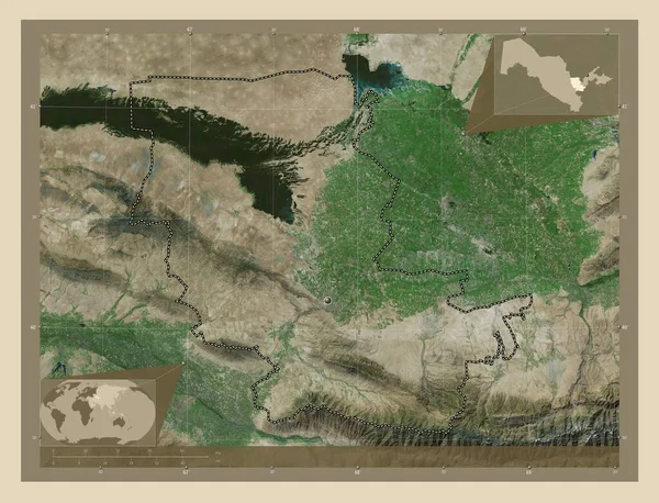
즈 베키스 탄의 지자흐 주입니다. 고해상도 위성 지도. Corner auxiliary location
베키스 지자흐 주입니다 고해상도 Corner Auxiliary Location — 스톡 사진
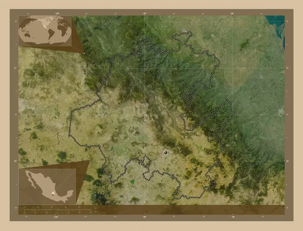
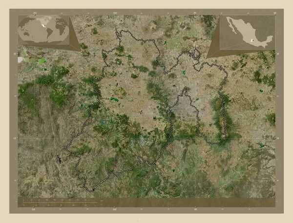
히달고, 멕시코의 주. 저 해상도 위성 지도. Corner auxiliary location
히달고 멕시코의 해상도 Corner Auxiliary Location — 스톡 사진
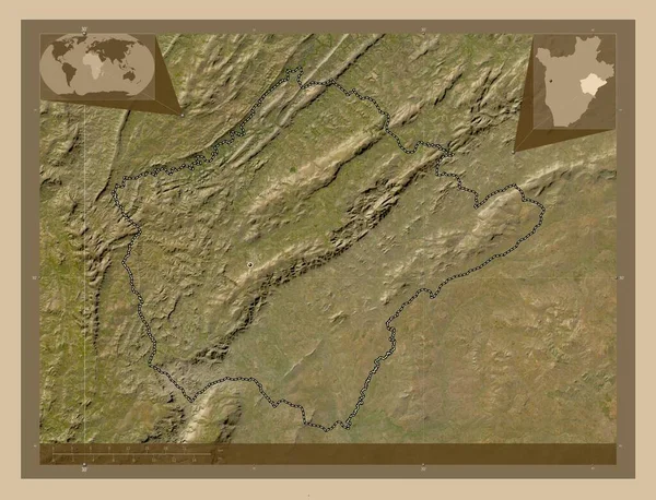
루이지, 부룬디 주. 저 해상도 위성 지도. 그 지역의 주요 도시들의 위치. Corner auxiliary location
루이지 부룬디 해상도 지역의 도시들의 Corner Auxiliary Location — 스톡 사진
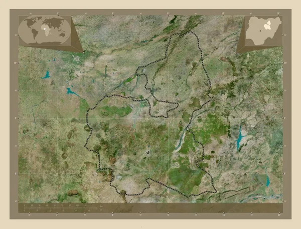
니제르, 나이지리아. 저 해상도 위성 지도. Corner auxiliary location
니제르 나이지리아 해상도 Corner Auxiliary Location — 스톡 사진
벨로루시의 호미엘 지역. 저 해상도 위성 지도. 그 지역의 주요 도시들의 위치. Corner auxiliary location
벨로루시의 호미엘 해상도 지역의 도시들의 Corner Auxiliary Location — 스톡 사진
Tlaxcala, 멕시코의 주. 고해상도 위성 지도. 그 지역의 주요 도시들의 위치. Corner auxiliary location
Tlaxcala 멕시코의 고해상도 지역의 도시들의 Corner Auxiliary Location — 스톡 사진
Sisacko-Moslavacka, 크로아티아 백국. 저 해상도 위성 지도. 그 지역의 주요 도시들의 위치. Corner auxiliary location
Sisacko Moslavacka 크로아티아 해상도 지역의 도시들의 Corner Auxiliary Location — 스톡 사진
바우치, 나이지리아. 고해상도 위성 지도. Corner auxiliary location
바우치 나이지리아 고해상도 Corner Auxiliary Location — 스톡 사진
멕시코, 멕시코 주. 고해상도 위성 지도. Corner auxiliary location
멕시코 멕시코 고해상도 Corner Auxiliary Location — 스톡 사진
비엔티안 현, 라오스의 현. 저 해상도 위성 지도. 그 지역의 주요 도시들의 위치. Corner auxiliary location
비엔티안 라오스의 해상도 지역의 도시들의 Corner Auxiliary Location — 스톡 사진

사용 정보

표준 또는 확장 라이센스에 따라 이 로열티-프리 "Surin, province of Thailand. Low resolution satellite map. Corner auxiliary location maps" 사진을 개인적 및 상업적 목적으로 사용할 수 있습니다. 표준 라이센스는 광고, UI 디자인, 제품 패키지를 비롯한 대부분의 사용을 커버하며, 최대 500,000부까지 인쇄할 수 있습니다. 확장 라이센스는 무제한 인쇄 권한과 함께 표준 라이센스 하의 모든 사용을 커버하며 다운로드한 스톡 이미지를 상품, 제품 재판매 또는 무료 배포에 사용할 수 있도록 합니다.

이 스톡 사진 구입 시 최대 4930x3770 의 고해상도로 다운로드할 수 있습니다. 업데이트 날짜: 2023년 3월 1일