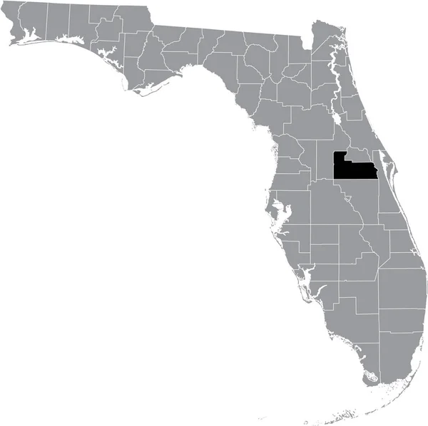
Black Highlighted Location Map Monroe County Gray Map Federal State — 스톡 벡터

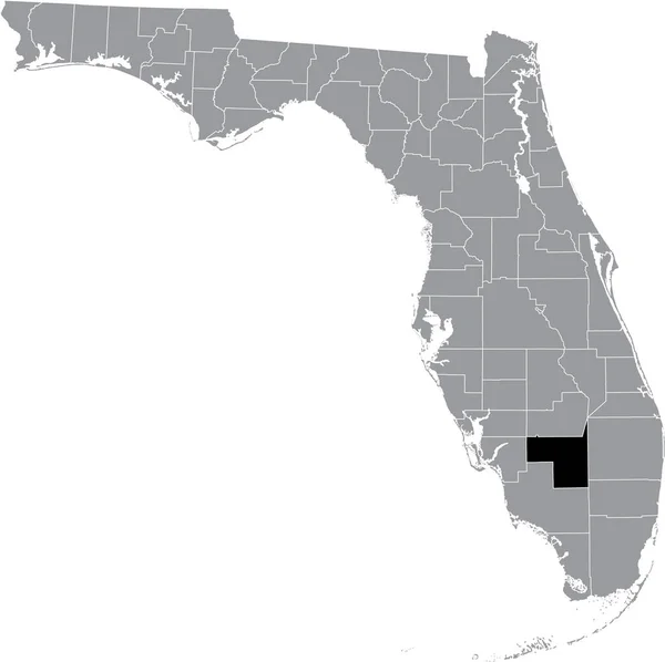
Black highlighted location map of the US Monroe county inside gray map of the Federal State of Florida, USA — 벡터

Black highlighted location map of the US Monroe county inside gray map of the Federal State of Florida, USA

 — momcilo.jovanov의 벡터

동일 시리즈:

Black highlighted location map of the US Hamilton county inside gray map of the Federal State of Florida, USA
Black Highlighted Location Map Hamilton County Gray Map Federal State — 스톡 벡터
Black highlighted location map of the US DeSoto county inside gray map of the Federal State of Florida, USA
Black Highlighted Location Map Desoto County Gray Map Federal State — 스톡 벡터
Black highlighted location map of the US Hillsborough county inside gray map of the Federal State of Florida, USA
Black Highlighted Location Map Hillsborough County Gray Map Federal State — 스톡 벡터
Black highlighted location map of the US Hendry county inside gray map of the Federal State of Florida, USA
Black Highlighted Location Map Hendry County Gray Map Federal State — 스톡 벡터
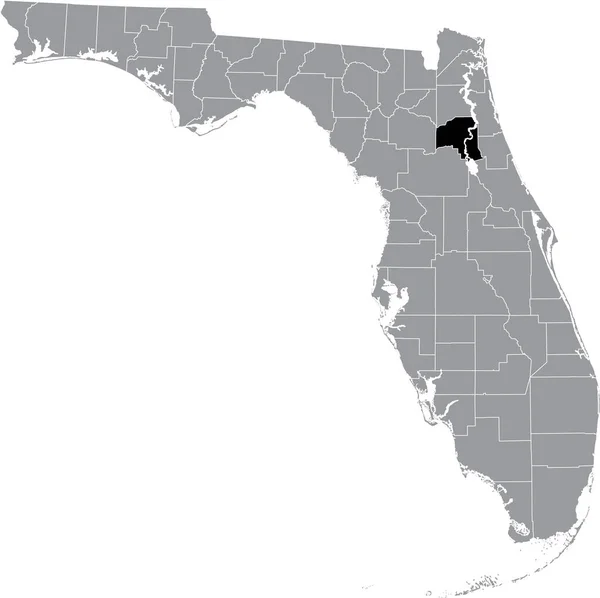
Black highlighted location map of the US Putnam county inside gray map of the Federal State of Florida, USA
Black Highlighted Location Map Putnam County Gray Map Federal State — 스톡 벡터
Black highlighted location map of the US Okeechobee county inside gray map of the Federal State of Florida, USA
Black Highlighted Location Map Okeechobee County Gray Map Federal State — 스톡 벡터
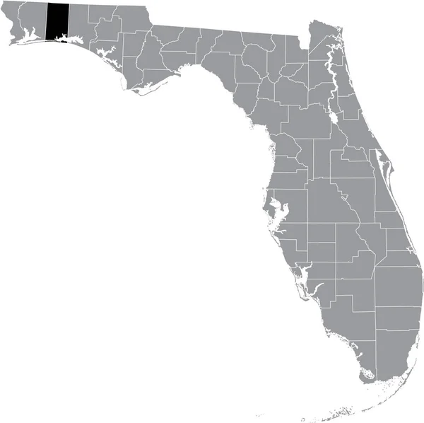
Black highlighted location map of the US Okaloosa county inside gray map of the Federal State of Florida, USA
Black Highlighted Location Map Okaloosa County Gray Map Federal State — 스톡 벡터
Black highlighted location map of the US Nassau county inside gray map of the Federal State of Florida, USA
Black Highlighted Location Map Nassau County Gray Map Federal State — 스톡 벡터
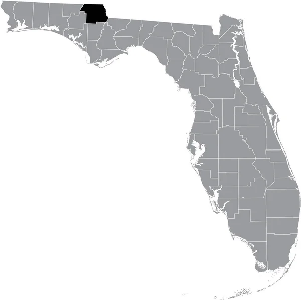
Black highlighted location map of the US Jackson county inside gray map of the Federal State of Florida, USA
Black Highlighted Location Map Jackson County Gray Map Federal State — 스톡 벡터
Black highlighted location map of the US Seminole county inside gray map of the Federal State of Florida, USA
Black Highlighted Location Map Seminole County Gray Map Federal State — 스톡 벡터
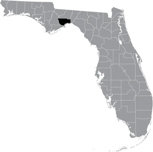
Black highlighted location map of the US Wakulla county inside gray map of the Federal State of Florida, USA
Black Highlighted Location Map Wakulla County Gray Map Federal State — 스톡 벡터
Black highlighted location map of the US Franklin county inside gray map of the Federal State of Florida, USA
Black Highlighted Location Map Franklin County Gray Map Federal State — 스톡 벡터
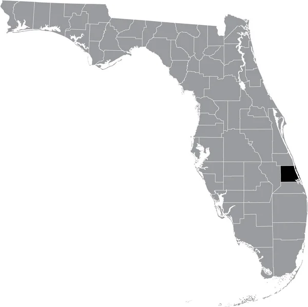
Black highlighted location map of the US St. Lucie county inside gray map of the Federal State of Florida, USA
Black Highlighted Location Map Lucie County Gray Map Federal State — 스톡 벡터
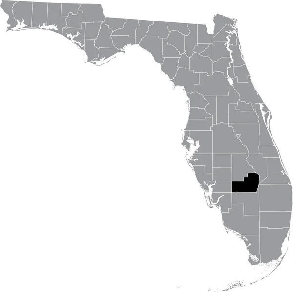
Black highlighted location map of the US Glades county inside gray map of the Federal State of Florida, USA
Black Highlighted Location Map Glades County Gray Map Federal State — 스톡 벡터
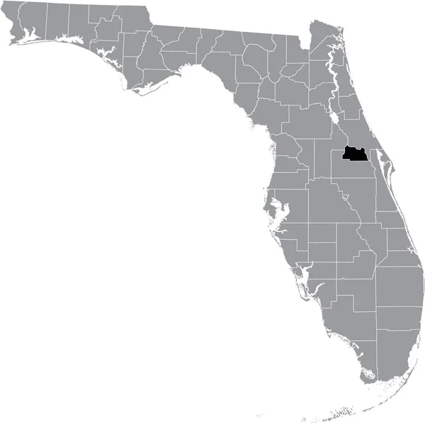
Black highlighted location map of the US Orange county inside gray map of the Federal State of Florida, USA
Black Highlighted Location Map Orange County Gray Map Federal State — 스톡 벡터
Black highlighted location map of the US Union county inside gray map of the Federal State of Florida, USA
Black Highlighted Location Map Union County Gray Map Federal State — 스톡 벡터

사용 정보

표준 또는 확장 라이센스에 따라 이 로열티-프리 "Black highlighted location map of the US Monroe county inside gray map of the Federal State of Florida, USA" 벡터 이미지를 개인적 및 상업적 목적으로 사용할 수 있습니다. 표준 라이센스는 광고, UI 디자인, 제품 패키지를 비롯한 대부분의 사용을 커버하며, 최대 500,000부까지 인쇄할 수 있습니다. 확장 라이센스는 무제한 인쇄 권한과 함께 표준 라이센스 하의 모든 사용을 커버하며 다운로드한 벡터 파일을 상품, 제품 재판매 또는 무료 배포에 사용할 수 있도록 합니다.

이 스톡 벡터 이미지는 어떤 크기로든 확장 가능합니다. 구입 시 최대 5005x4988 의 고해상도로 다운로드할 수 있습니다. 업데이트 날짜: 2021년 6월 15일