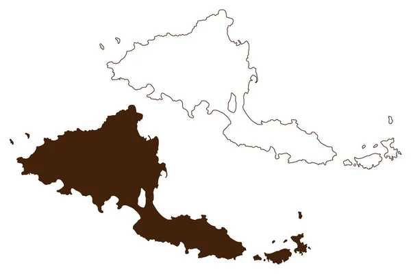
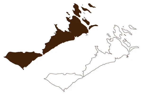
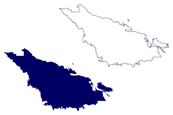
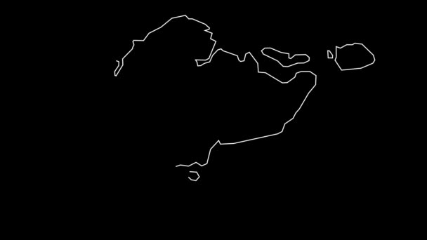
Byron Lord Island Western Australia Commonwealth Australia Buccaneer Archipelago Indian — 스톡 벡터

Byron and Lord island (Western Australia, Commonwealth of Australia, Buccaneer Archipelago, Indian Ocean) map vector illustration, scribble sketch map — 벡터

Byron and Lord island (Western Australia, Commonwealth of Australia, Buccaneer Archipelago, Indian Ocean) map vector illustration, scribble sketch map

 — Danler의 벡터

동일 시리즈:

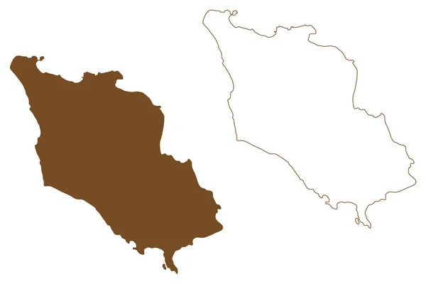
Amhamouliani island (Hellenic Republic, Greece, Greek island) map vector illustration, scribble sketch Amoliani map
Amhamouliani Island Hellenic Republic Greece Greek Island Map Vector Illustration — 스톡 벡터
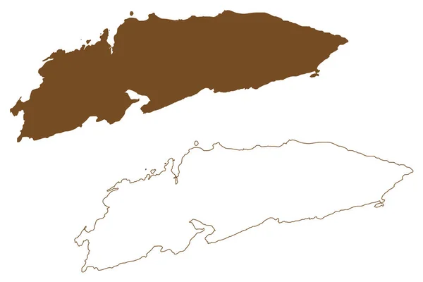
Sandhamn island (Kingdom of Sweden) map vector illustration, scribble sketch Sandon map
Sandhamn Island Kingdom Sweden Map Vector Illustration Scribble Sketch Sandon — 스톡 벡터
Meloya Island ( 노르웨이 왕국 ) map vector illustration, scribble sketch Meloya or Meloy map
Meloya Island 노르웨이 Map Vector Illustration Scribble Sketch Meloya Meloy — 스톡 벡터
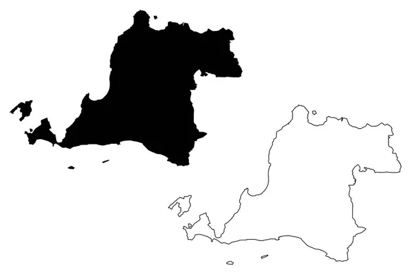
반 텐 (세분의 인도네시아, 인도네시아의 지방) 지도 벡터 일러스트 레이 션, 낙서 스케치 Banten-자바-지도
세분의 인도네시아 인도네시아의 일러스트 스케치 Banten — 스톡 벡터
케르 켄나 제도 ( 튀니지 공화국, 군도 ) 지도 벡터 삽화,스 커 블 스케치 Chergui and Gharbi map
튀니지 공화국 스케치 Chergui Gharbi Map — 스톡 벡터
Halson or Halso island (Republic of Finland) map vector illustration, scribble sketch map
Halson Halso Island Republic Finland Map Vector Illustration Scribble Sketch — 스톡 벡터
Sandoy island (Kingdom of Denmark, Faroe Islands) map vector illustration, scribble sketch Sand map
Sandoy Island Kingdom Denmark Faroe Islands Map Vector Illustration Scribble — 스톡 벡터
Hidden island (Western Australia, Commonwealth of Australia, Buccaneer Archipelago, Indian Ocean) map vector illustration, scribble sketch Banggoon map
Hidden Island Western Australia Commonwealth Australia Buccaneer Archipelago Indian Ocean — 스톡 벡터
벌 카 노 섬 ( 아이 올리 안 제도, 이탈리아 공화국 ) 벡터 삽화,스 레블 스케치 Isola del Vulcan map
이탈리아 공화국 스케치 Isola Del Vulcan Map — 스톡 벡터
Krk island (Republic of Croatia, Adriatic Sea) map vector illustration, scribble sketch Krk map
Krk Island Republic Croatia Adriatic Sea Map Vector Illustration Scribble — 스톡 벡터
나 미소 지역 ( 캐나다, 브리티시 컬럼비아 또는 BC 주, 북 아메리카 ) 벡터 삽화, 낙서 스케치나 이미 오 지도
캐나다 브리티시 컬럼비아 아메리카 스케치나 — 스톡 벡터
사바 (국가 및 말레이시아, 말레이시아의 연맹의 연방 영토) 벡터 일러스트 레이 션, 낙서 스케치 사바 지도 지도
말레이시아 말레이시아의 연맹의 일러스트 스케치 — 스톡 벡터
Vir island (Republic of Croatia, Adriatic Sea) map vector illustration, scribble sketch Vir map
Vir Island Republic Croatia Adriatic Sea Map Vector Illustration Scribble — 스톡 벡터
Storon or Storo island ( 스웨덴 왕국 ) vector illustration, scribble sketch map
Storon Storo Island 스웨덴 Vector Illustration Scribble Sketch Map — 스톡 벡터
Nightingale island (United Kingdom of Great Britain and Northern Ireland, Constituent part of Saint Helena, Ascension and Tristan da Cunha) map vector illustration, scribble sketch Middle and Stoltenhoff Island map
Nightingale Island United Kingdom Great Britain Northern Ireland Constituent Part — 스톡 벡터
Mahe island (Republic of Seychelles, Indian Ocean, Inner Islands) map vector illustration, scribble sketch Ile Les Mamelles map
Mahe Island Republic Seychelles Indian Ocean Inner Islands Map Vector — 스톡 벡터

사용 정보

표준 또는 확장 라이센스에 따라 이 로열티-프리 "Byron and Lord island (Western Australia, Commonwealth of Australia, Buccaneer Archipelago, Indian Ocean) map vector illustration, scribble sketch map" 벡터 이미지를 개인적 및 상업적 목적으로 사용할 수 있습니다. 표준 라이센스는 광고, UI 디자인, 제품 패키지를 비롯한 대부분의 사용을 커버하며, 최대 500,000부까지 인쇄할 수 있습니다. 확장 라이센스는 무제한 인쇄 권한과 함께 표준 라이센스 하의 모든 사용을 커버하며 다운로드한 벡터 파일을 상품, 제품 재판매 또는 무료 배포에 사용할 수 있도록 합니다.

이 스톡 벡터 이미지는 어떤 크기로든 확장 가능합니다. 구입 시 최대 7087x4726 의 고해상도로 다운로드할 수 있습니다. 업데이트 날짜: 2022년 5월 1일