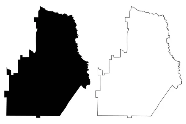
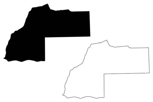
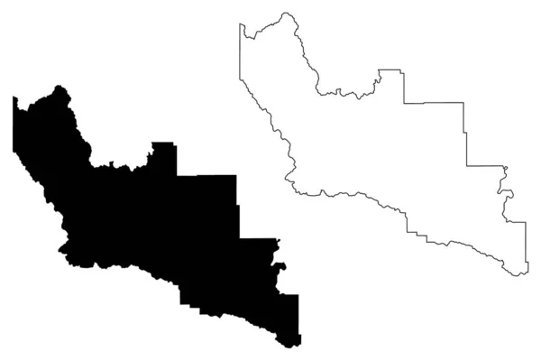
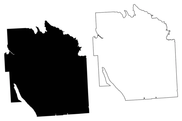
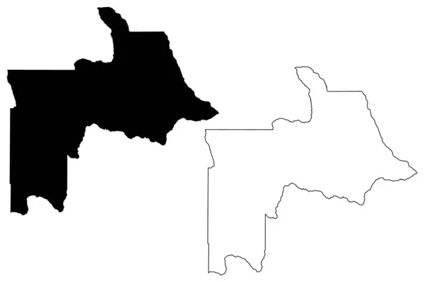
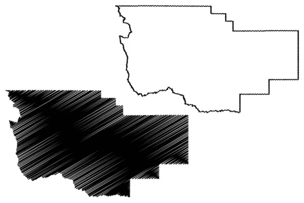
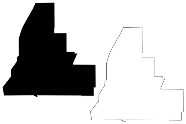
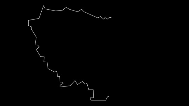
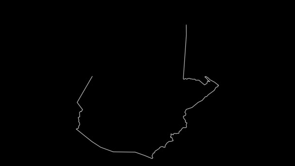
댈러스 카운티, 앨라배마 (앨라배마 카운티, 미국, 미국, 미국) 지도 벡터 일러스트레이션, 낙서 스케치 달라스지도 — 스톡 벡터

댈러스 카운티, 앨라배마 (앨라배마 카운티, 미국, 미국, 미국) 지도 벡터 일러스트레이션, 낙서 스케치 달라스지도 — 벡터

댈러스 카운티, 앨라배마 (앨라배마 카운티, 미국, 미국, 미국) 지도 벡터 일러스트레이션, 낙서 스케치 달라스지도

 — Danler의 벡터

동일 시리즈:

Houston County, Georgia (U.S. County, United States of America, USA, US) map vector illustration, scribble sketch Houston map
Houston County Georgia County United States America Usa Map Vector — 스톡 벡터
Harding County, New Mexico (U.S. County, United States of America, US, US) map vector illustration, scribble sketch Harding map
Harding County New Mexico County United States America Map Vector — 스톡 벡터
타일러 카운티, 텍사스 (텍사스 카운티, 미국, 미국, 미국) 지도 벡터 일러스트레이션, 낙서 스케치 타일러지도
타일러 카운티, 텍사스 (텍사스 카운티, 미국, 미국, 미국) 지도 벡터 일러스트레이션, 낙서 스케치 타일러지도 — 스톡 벡터
추키사카부(볼리비아 주, 볼리비아 부) 지도 벡터 일러스트, 낙서 스케치 추키사카 지도
추키사카부(볼리비아 주, 볼리비아 부) 지도 벡터 일러스트, 낙서 스케치 추키사카 마 — 스톡 벡터
Scioto and Paulding County, Ohio State ( 미국군, 미국, 미국 ) map vector illustration, scribble sketch map
Scioto Paulding County Ohio State 미국군 Map Vector Illustration Scribble — 스톡 벡터
Laayoune Sakia 엘 함 라 (모로코, 모로코의 왕국, 지역 모로코의 행정 구역) 지구 벡터 일러스트 레이 션, 낙서 스케치 Laayoune Sakia 엘 Hamra 지도
Laayoune Sakia 엘 Hamra 지역 지도 vecto — 스톡 벡터
Sanders County, Montana (U.S. County, United States of America, US, US) map vector illustration, scribble sketch Sanders map
Sanders County Montana County United States America Map Vector Illustration — 스톡 벡터
Onondaga County, New York State (U.S. County, United States of America, US, US) map vector illustration, scribble sketch Onondaga map
Onondaga County New York State County United States America Map — 스톡 벡터
Woleu-Ntem Province (Subdivisions of Gabon, Gabonese Republic) map vector illustration, scribble sketch Woleu Ntem map
Woleu-Ntem Province (Subdivisions of Gabon, Gabonese Republic) map vector illustration, scribble sketch Woleu Ntem map — 스톡 벡터
Lewis County, Idaho (U.S. County, United States of America, US, US) map vector illustration, scribble sketch Lewis map
Lewis County Idaho County United States America Map Vector Illustration — 스톡 벡터
Teton County, Montana (U.S. County, United States of America, US, US, US) map vector illustration, scribble sketch Teton map
Teton County Montana County United States America Map Vector Illustration — 스톡 벡터
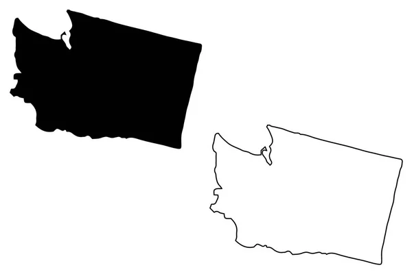
워싱턴 지도 벡터 일러스트 레이 션, 낙서 스케치 워싱턴 지도
워싱턴 일러스트 스케치 워싱턴 — 스톡 벡터
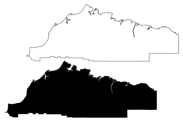
알래스카의 노스슬로프 자치구 ( 알래스카의 자치구와 인구 조사 지역, 미국, 미국, 우리 ) 지도 벡터 삽화, 낙서 스케치 노스 슬로프 지도
알래스카의 노스슬로프 자치구 ( 알래스카의 자치구와 인구 조사 지역, 미국, 미국, 우리 ) 지도 벡터 삽화, 낙서 스케치 노스 슬로프 지도 — 스톡 벡터
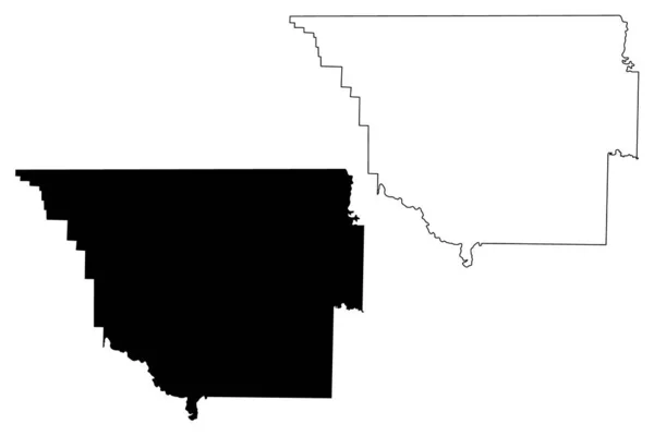
Randolph County, Arkansas (U.S. county, United States of America,USA, U.S., US) map vector illustration, scribble sketch Randolph map
Randolph County, Arkansas (U.S. county, United States of America,USA, U.S., US) map vector illustration, scribble sketch Randolph map — 스톡 벡터
Walker County, Georgia (U.S. County, United States of America, US, US) map vector illustration, scribble sketch Walker map
Walker County Georgia County United States America Map Vector Illustration — 스톡 벡터
Brown County, Minnesota (U.S. County, United States of America, US, US) map vector illustration, scribble sketch Brown map
Brown County Minnesota County United States America Map Vector Illustration — 스톡 벡터

사용 정보

표준 또는 확장 라이센스에 따라 이 로열티-프리 "댈러스 카운티, 앨라배마 (앨라배마 카운티, 미국, 미국, 미국) 지도 벡터 일러스트레이션, 낙서 스케치 달라스지도" 벡터 이미지를 개인적 및 상업적 목적으로 사용할 수 있습니다. 표준 라이센스는 광고, UI 디자인, 제품 패키지를 비롯한 대부분의 사용을 커버하며, 최대 500,000부까지 인쇄할 수 있습니다. 확장 라이센스는 무제한 인쇄 권한과 함께 표준 라이센스 하의 모든 사용을 커버하며 다운로드한 벡터 파일을 상품, 제품 재판매 또는 무료 배포에 사용할 수 있도록 합니다.

이 스톡 벡터 이미지는 어떤 크기로든 확장 가능합니다. 구입 시 최대 7087x4726 의 고해상도로 다운로드할 수 있습니다. 업데이트 날짜: 2019년 9월 15일