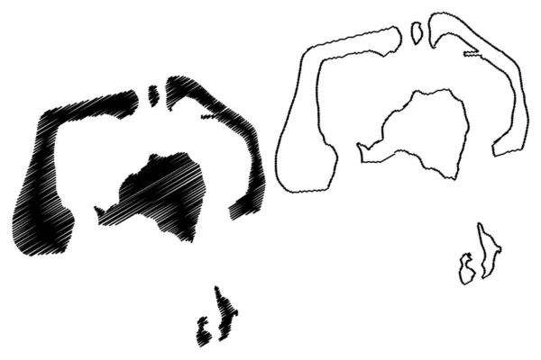
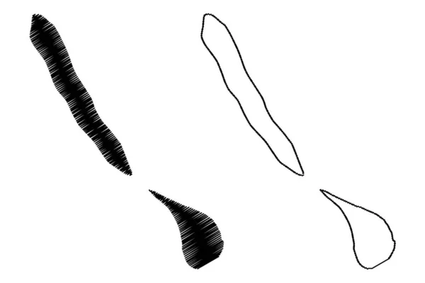
Ducie Island United Kingdom Great Britain Northern Ireland Pacific Ocean — 스톡 벡터

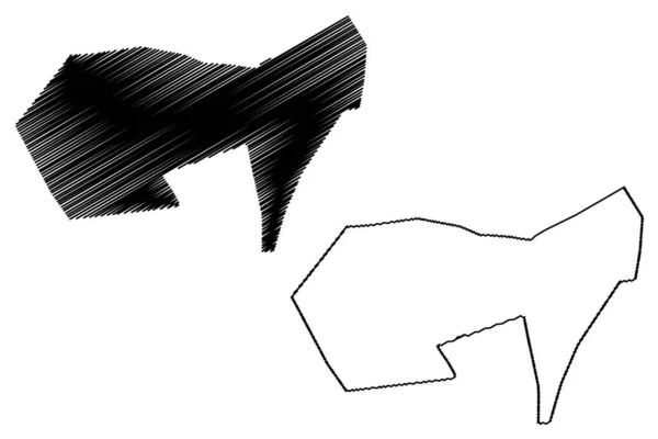
Ducie island (United Kingdom of Great Britain and Northern Ireland, Pacific Ocean, Pitcairn Archipelago, UK, British Overseas Territory) map vector illustration, Acadia, Pandora, Westward, Edwards — 벡터

Ducie island (United Kingdom of Great Britain and Northern Ireland, Pacific Ocean, Pitcairn Archipelago, UK, British Overseas Territory) map vector illustration, Acadia, Pandora, Westward, Edwards

 — Danler의 벡터

동일 시리즈:

모 피 섬 ( 프랑스, 프랑스 공화국, 태평양, 사회 제도 제도 제도 제도 제도 제도 제도 제도, 프랑스령폴리네시아 ) 벡터 삽화, 낙서 스케치 모피 지도
프랑스 프랑스 공화국 태평양 프랑스령폴리네시아 스케치 — 스톡 벡터
New Urban Zone paragraph (Parishes of Macao, Macao Special Administrative Region of the Peoples Republic of China) 맵 벡터 삽화, 낙서 스케치 New Urban Zone map
New Urban Zone Paragraph Parishes Macao Macao Special Administrative Region — 스톡 벡터
Providence Islands (Republic of Liberia) map vector illustration, scribble sketch Perseverance, Dozoa or Darzoe map
Providence Islands Republic Liberia Map Vector Illustration Scribble Sketch Perseverance — 스톡 벡터
Barra de Sao Miguel municiality (Alagoas state, Municipalities of Brazil, Federative Republic of Brazil) 벡터 삽화 , scribble sketch Barra de Sao Miguel map
Barra Sao Miguel Municiality Alagoas State Municipalities Brazil Federative Republic — 스톡 벡터
아덴 주 (예멘, 예멘 공화국) 지도 벡터 일러스트레이션, 낙서 스케치 아덴지도
아덴 주 (예멘, 예멘 공화국) 지도 벡터 일러스트레이션, 낙서 스케치 아덴 마 — 스톡 벡터
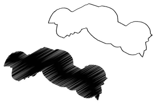
중앙 강분 계선 ( 감비아 공화국의 감비아 구획 ) 벡터 지도 삽화, 낙서, 중앙 강 지역 지도
중앙 강분 계선 ( 감비아 공화국의 감비아 구획 ) 벡터 지도 삽화, 낙서, 중앙 강 지역 지도 — 스톡 벡터
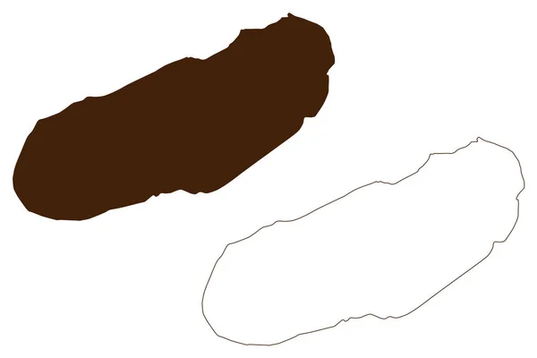
Aguiguan Island (Commonwealth of the Northern Mariana Islands, Pacific Ocean, United States of America, USA) map vector illustration, scribble sketch Aguijan, Aguigan or Aguihan map
Aguiguan Island Commonwealth Northern Mariana Islands Pacific Ocean United States — 스톡 벡터
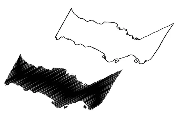
Chiclayo City (Republic of Peru, Department of Lambayeque) map vector illustration, scribble sketch City of Santa Maria de los Valles de Chiclayo map
Chiclayo City Republic Peru Department Lambayeque Map Vector Illustration Scribble — 스톡 벡터
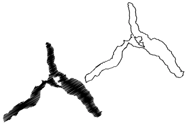
멘데즈 호수 ( 남아메리카, 아르헨티나 공화국 ) 벡터 일러스트,스케 블 스케치 Lago Menendez map
멘데즈 남아메리카 아르헨티나 공화국 일러스트 스케치 Lago Menendez Map — 스톡 벡터
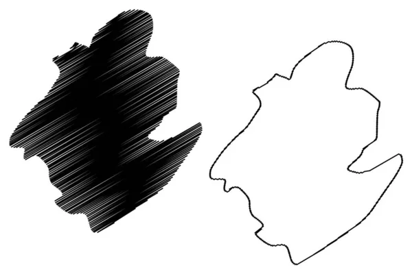
Sivasagar district ( 아 삼 주, 인도 공화국 ) map vector illustration, scribble sketch Sivasagar map
Sivasagar District 공화국 Map Vector Illustration Scribble Sketch Sivasagar Map — 스톡 벡터
Lake Assal (Africa, Republic of Djibouti) map vector illustration, scribble sketch Honey Lake map
Lake Assal Africa Republic Djibouti Map Vector Illustration Scribble Sketch — 스톡 벡터
메 카시티 ( 사우디 왕국, 메카 또는 메 카 알무 카라람 마 지역 ) 벡터 삽화, 낙서 스케치 도시의 마카 지도
카시티 사우디 카라람 스케치 도시의 — 스톡 벡터
Pak island (New Guinea, Pacific Ocean, Bismarck Archipelago, Admiralty Islands) map vector illustration, scribble sketch Pak map
Pak Island New Guinea Pacific Ocean Bismarck Archipelago Admiralty Islands — 스톡 벡터
카나리아 제도 지도 벡터 일러스트 레이 션, 낙서 스케치 카나리아 제도
카나리아 제도 지도 벡터 — 스톡 벡터
Kingstown City (Saint Vincent and the Grenadines island) map vector illustration, scribble sketch City of Kingstown map
Kingstown City Saint Vincent Grenadines Island Map Vector Illustration Scribble — 스톡 벡터
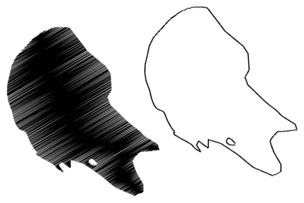
Agalega islands (Republic of Mauritius, island, Districts of Mauritius) map vector illustration, scribble sketch Agalega map
Agalega islands (Republic of Mauritius, island, Districts of Mauritius) map vector illustration, scribble sketch Agalega map — 스톡 벡터

사용 정보

표준 또는 확장 라이센스에 따라 이 로열티-프리 "Ducie island (United Kingdom of Great Britain and Northern Ireland, Pacific Ocean, Pitcairn Archipelago, UK, British Overseas Territory) map vector illustration, Acadia, Pandora, Westward, Edwards" 벡터 이미지를 개인적 및 상업적 목적으로 사용할 수 있습니다. 표준 라이센스는 광고, UI 디자인, 제품 패키지를 비롯한 대부분의 사용을 커버하며, 최대 500,000부까지 인쇄할 수 있습니다. 확장 라이센스는 무제한 인쇄 권한과 함께 표준 라이센스 하의 모든 사용을 커버하며 다운로드한 벡터 파일을 상품, 제품 재판매 또는 무료 배포에 사용할 수 있도록 합니다.

이 스톡 벡터 이미지는 어떤 크기로든 확장 가능합니다. 구입 시 최대 7087x4726 의 고해상도로 다운로드할 수 있습니다. 업데이트 날짜: 2022년 9월 27일