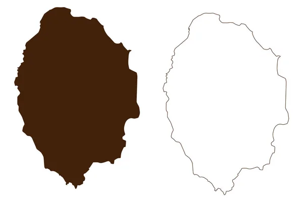
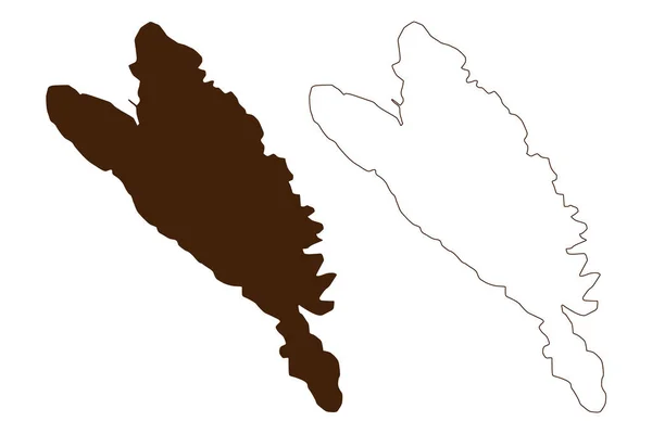
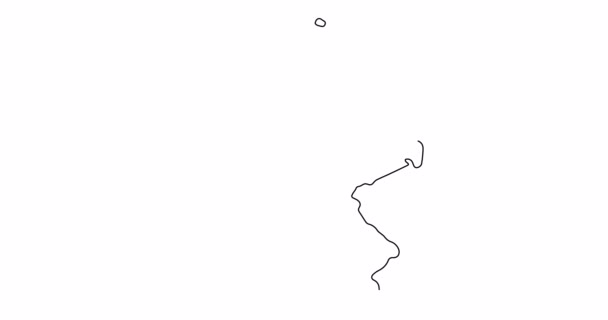
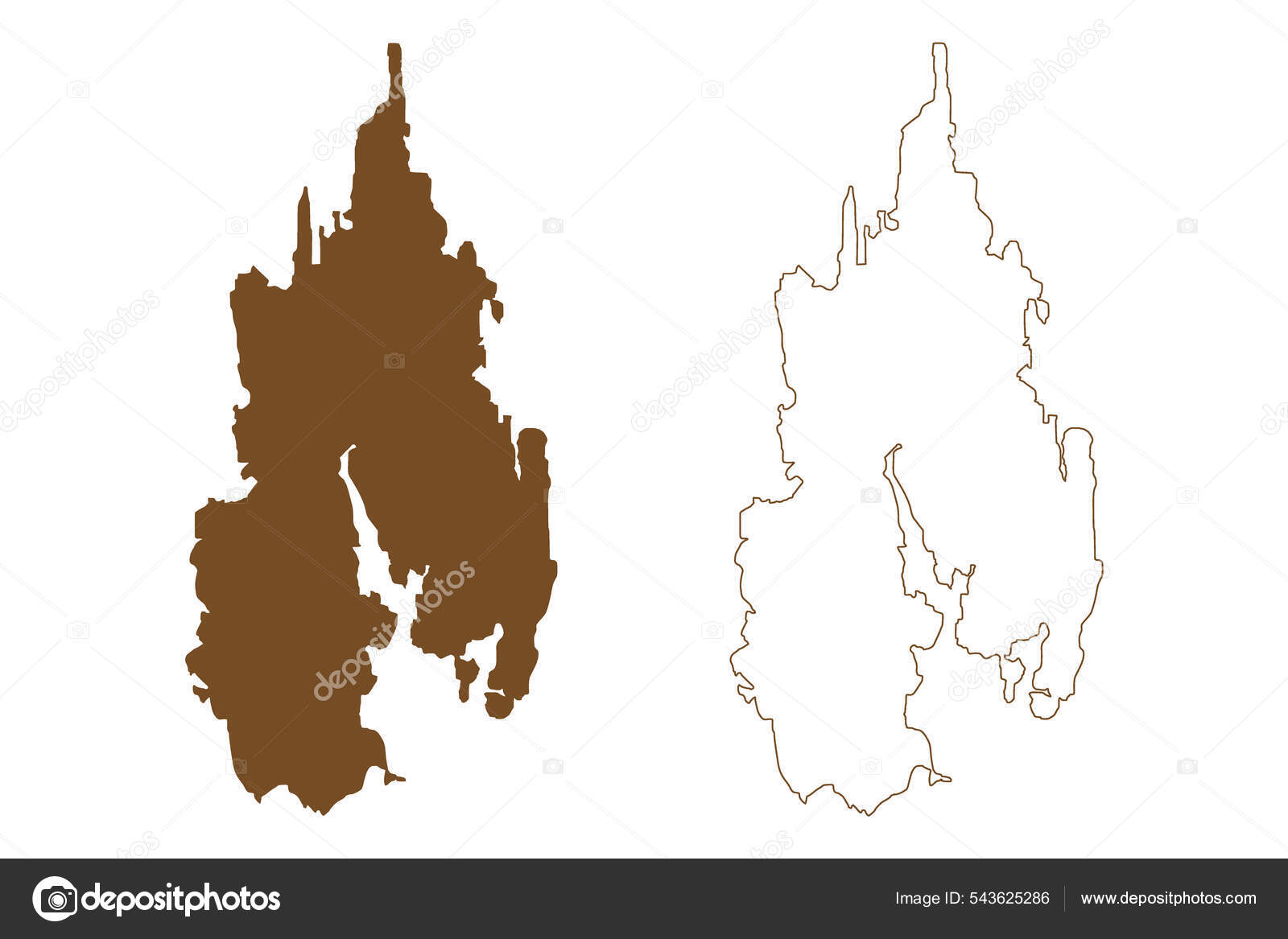
Eckero Island Republic Finland Aland Islands Map Vector Illustration Scribble — 스톡 벡터

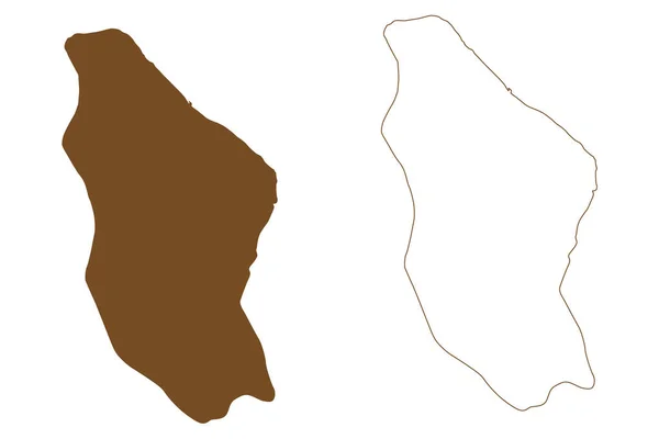
Eckero island (Republic of Finland, Aland Islands) map vector illustration, scribble sketch Eckero map — 벡터

Eckero island (Republic of Finland, Aland Islands) map vector illustration, scribble sketch Eckero map

 — Danler의 벡터

동일 시리즈:

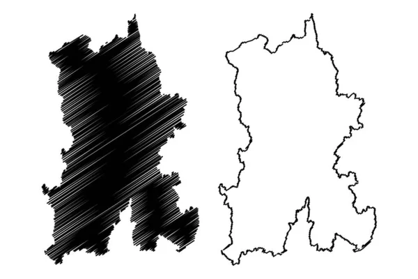
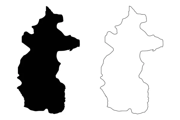
Kunming City ( 중화 인민공화국, 윈난 성 ) map vector illustration, scribble sketch City of Yunnan-Fu map
Kunming City 인민공화국 Map Vector Illustration Scribble Sketch City Yunnan — 스톡 벡터
Kocani Municipality (Republic of North Macedonia, Eastern Statistical Region) map vector illustration, scribble sketch Kocani map
Kocani Municipality (Republic of North Macedonia, Eastern Statistical Region) map vector illustration, scribble sketch Kocani map — 스톡 벡터
카사이 중앙 주 (민주 공화국 콩고, 콩고, 콩고, 콩고-킨샤사) 지도 벡터 일러스트 레이 션, 낙서 스케치 카사 중앙 지도
카사이 공화국 킨샤사 일러스트 스케치 — 스톡 벡터
Brando island (Republic of Finland, Aland Islands) map vector illustration, scribble sketch map
Brando Island Republic Finland Aland Islands Map Vector Illustration Scribble — 스톡 벡터
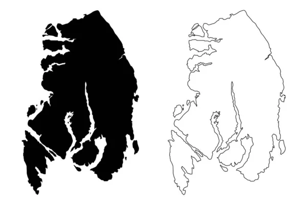
알래스카, 케티 칸 게이트웨이, 알래스카 ( 자치구와 인구 조사 지역, 미국, 미국, 우리 ) 지도 벡터 삽화, 낙서 스케치 케티 칸 게이트웨이 맵
알래스카, 케티 칸 게이트웨이, 알래스카 ( 자치구와 인구 조사 지역, 미국, 미국, 우리 ) 지도 벡터 삽화, 낙서 스케치 케티 칸 게이트웨이 맵 — 스톡 벡터
파당 섬 ( 인도네시아 공화국 ) 벡터 삽화, 스케치 파당 지도
인도네시아 공화국 스케치 — 스톡 벡터
Agrihan Island (Commonwealth of the Northern Mariana Islands, Pacific Ocean, United States of America, USA) map vector illustration, scribble sketch Agrigan map
Agrihan Island Commonwealth Northern Mariana Islands Pacific Ocean United States — 스톡 벡터
Ko Phi Phi Don Island (Kingdom of Thailand, Siam, Indian Ocean, Phi Phi Archipelago) vector illustration, scribble sketch map
Phi Phi Don Island Kingdom Thailand Siam Indian Ocean Phi — 스톡 벡터
소림 섬 ( 러시아, 러시아 연방, 프란츠 요제프 란트 군도 ) 지도 벡터 삽화 , scribble sketch Ostrov Salm map
러시아 러시아 프란츠 요제프 Scribble Sketch Ostrov Salm Map — 스톡 벡터
핀란드 중부 지역 ( 핀란드 공화국 ) vector illustration, scribble sketch Central map
핀란드 중부 지역 ( 핀란드 공화국 ) vector illustration, scribble sketch Central map — 스톡 벡터
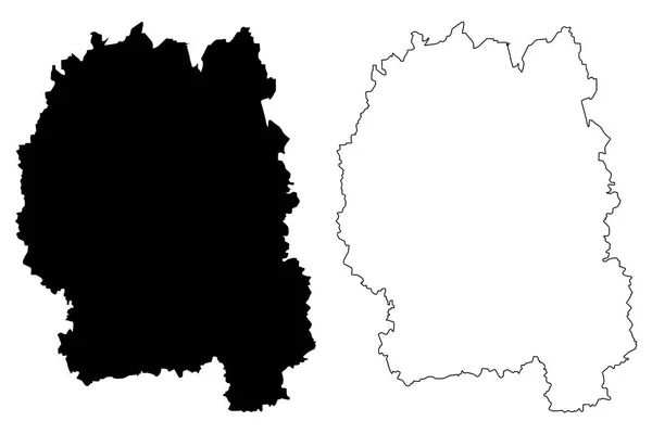
지토미르 주 (우크라이나, 우크라이나의 주의 행정 구역) 지도 벡터 일러스트 레이 션, 낙서 스케치 Zhytomyrshchyna 지도
지토미르 주 지도 vecto — 스톡 벡터
Maug or Maok Islands (Commonwealth of the Northern Mariana Islands, Pacific Ocean, United States, America) map vector illustration, scribble sketch North, East and West Maug map
Maug Maok Islands Commonwealth Northern Mariana Islands Pacific Ocean United — 스톡 벡터
Piura City (Republic of Peru, Department of Piura) map vector illustration, scribble sketch City of Piura map
Piura City Republic Peru Department Piura Map Vector Illustration Scribble — 스톡 벡터
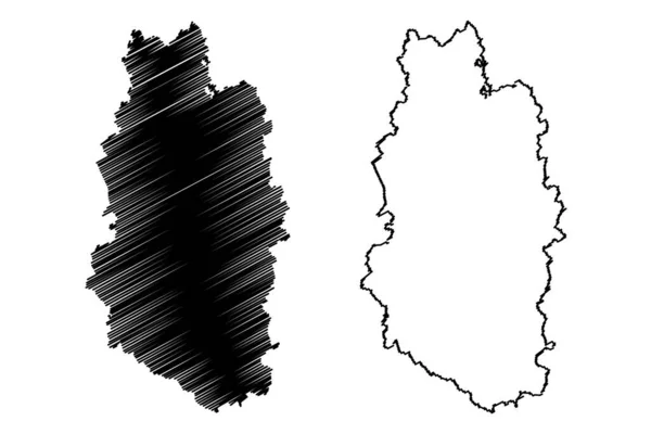
Meuse Department (France, France, Republic, Grand Est region) map vector illustration, scribble sketch Meuse map
Meuse Department France France Republic Grand Est Region Map Vector — 스톡 벡터
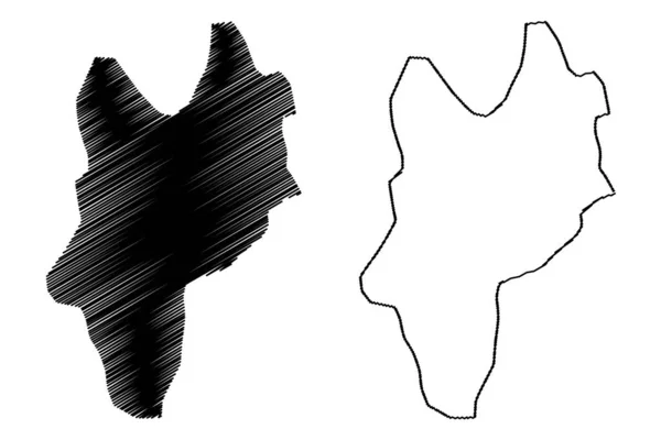
헤르마나스 미라발 주 (도미니카 공화국, 히스파니올라, 도미니카 공화국 의 지방) 지도 벡터 삽화, 낙서 스케치 헤르마나스 미라발지도
헤르마나스 미라발 주 (도미니카 공화국, 히스파니올라, 도미니카 공화국 의 지방) 지도 벡터 삽화, 낙서 스케치 헤르마나스 미라발 마 — 스톡 벡터
Zlarin island (Republic of Croatia, Adriatic Sea) map vector illustration, scribble sketch Zlarin map
Zlarin Island Republic Croatia Adriatic Sea Map Vector Illustration Scribble — 스톡 벡터

사용 정보

표준 또는 확장 라이센스에 따라 이 로열티-프리 "Eckero island (Republic of Finland, Aland Islands) map vector illustration, scribble sketch Eckero map" 벡터 이미지를 개인적 및 상업적 목적으로 사용할 수 있습니다. 표준 라이센스는 광고, UI 디자인, 제품 패키지를 비롯한 대부분의 사용을 커버하며, 최대 500,000부까지 인쇄할 수 있습니다. 확장 라이센스는 무제한 인쇄 권한과 함께 표준 라이센스 하의 모든 사용을 커버하며 다운로드한 벡터 파일을 상품, 제품 재판매 또는 무료 배포에 사용할 수 있도록 합니다.

이 스톡 벡터 이미지는 어떤 크기로든 확장 가능합니다. 구입 시 최대 7087x4726 의 고해상도로 다운로드할 수 있습니다. 업데이트 날짜: 2022년 1월 24일