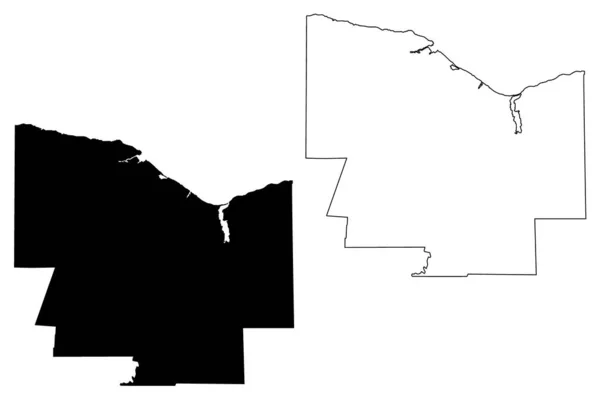
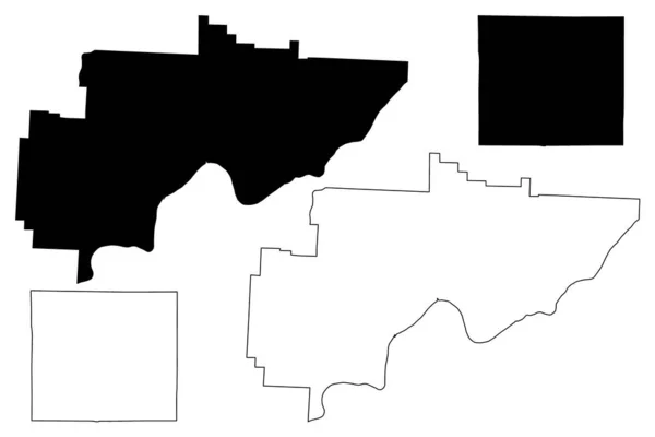
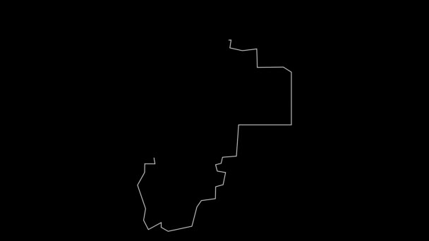
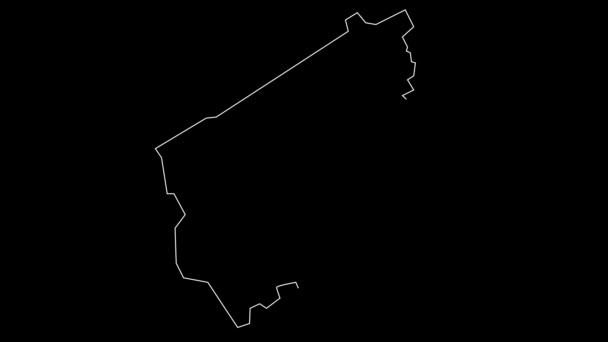
Gallia County Ohio State County United States America Map Vector — 스톡 벡터

Gallia County, Ohio State (U.S. County, United States of America, US, US) map vector illustration, scribble sketch Gallia map — 벡터

Gallia County, Ohio State (U.S. County, United States of America, US, US) map vector illustration, scribble sketch Gallia map

 — Danler의 벡터

동일 시리즈:

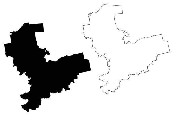
Monroe County, New York State ( 미국군, 미국, 미국 ) map vector illustration, scribble sketch Monroe map
Monroe County New York State 미국군 Map Vector Illustration Scribble — 스톡 벡터
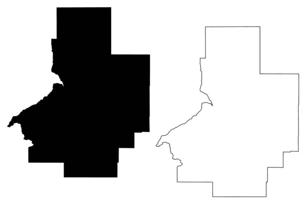
Franklin County, Commonwealth of Massachusetts ( 미국군, 미국, 미국 ) map vector illustration, scribble sketch Franklin map
Franklin County Commonwealth Massachusetts 미국군 Map Vector Illustration Scribble Sketch — 스톡 벡터
프랭클린군, 오하 이 오 주 ( 미국군, 미국, 미국 ) 지도 벡터 삽화, 낙서 스케치 프랭클린 지도
프랭클린군 미국군 스케치 프랭클린 — 스톡 벡터
앨라배마 주 칼훈 카운티 (미국 앨라배마 주 카운티, 미국, 미국) 지도 벡터 일러스트레이션, 낙서 스케치 칼훈 지도
앨라배마 주 칼훈 카운티 (미국 앨라배마 주 카운티, 미국, 미국) 지도 벡터 일러스트레이션, 낙서 스케치 칼훈 지도 — 스톡 벡터
Vecumnieki municiality (Republic of Latvia, administrative divisions of Latvia, municities and their territorial unit) map vector illustration, scribble sketch vecumnieki map
Vecumnieki Municiality Republic Latvia Administrative Divisions Latvia Municities Territorial Unit — 스톡 벡터
Butte County, Idaho (U.S. County, United States of America, US, US) map vector illustration, scribble sketch Butte map
Butte County Idaho County United States America Map Vector Illustration — 스톡 벡터
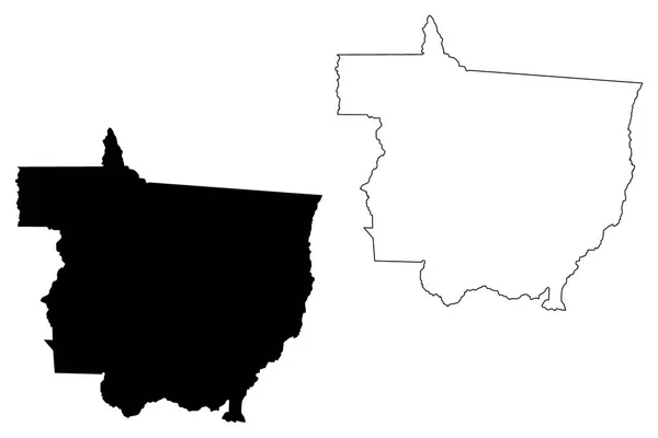
마토 그로소 (지역의 브라질, 연결 된 상태, 브라질 연방 공화국) 벡터 일러스트 레이 션, 낙서 스케치 마투그로수 지도 지도
그로소 지역의 브라질 브라질 공화국 일러스트 스케치 마투그로수 — 스톡 벡터
Washington and Wayne County, Ohio State ( 미국군, 미국, 미국 ) map vector illustration, scribble sketch map
Washington Wayne County Ohio State 미국군 Map Vector Illustration Scribble — 스톡 벡터
Gabu Region (Republic of Guinea-Bissau, Regions of Guinea Bissau) map vector illustration, scribble sketch Gabu map
Gabu Region (Republic of Guinea-Bissau, Regions of Guinea Bissau) map vector illustration, scribble sketch Gabu map — 스톡 벡터
Kansas City, Kansas (United States cities, United States of America, usa city) map vector illustration, scribble sketch City of Kansas map
Kansas City, Kansas (United States cities, United States of America, usa city) map vector illustration, scribble sketch City of Kansas map — 스톡 벡터
Windham County, State of Vermont (U.S. County, United States of America, US, US) map vector illustration, scribble sketch Windham map
Windham County State Vermont County United States America Map Vector — 스톡 벡터
West Valley City, Utah (United States cities, the United States of America, usa city) vector illustration, scribble sketch City of West Valley map
West Valley City Utah United States Cities United States America — 스톡 벡터
Maury County, State of Tennessee (U.S. County, United States of America, US, US) map vector illustration, scribble sketch Maury map
Maury County State Tennessee County United States America Map Vector — 스톡 벡터
러셀 카운티, 앨라배마 (앨라배마 카운티, 미국, 미국, 미국) 지도 벡터 일러스트레이션, 낙서 스케치 러셀지도
러셀 카운티, 앨라배마 (앨라배마 카운티, 미국, 미국, 미국) 지도 벡터 일러스트레이션, 낙서 스케치 러셀지도 — 스톡 벡터
Wayne County, North Carolina State (U.S. County, United States of America, US, US) map vector illustration, scribble sketch Wayne map
Wayne County North Carolina State County United States America Map — 스톡 벡터
Soacha City (Republic of Colombia, Department of Cundinamarca) map vector illustration, scribble sketch City of Soacha map
Soacha City Republic Colombia Department Cundinamarca Map Vector Illustration Scribble — 스톡 벡터

사용 정보

표준 또는 확장 라이센스에 따라 이 로열티-프리 "Gallia County, Ohio State (U.S. County, United States of America, US, US) map vector illustration, scribble sketch Gallia map" 벡터 이미지를 개인적 및 상업적 목적으로 사용할 수 있습니다. 표준 라이센스는 광고, UI 디자인, 제품 패키지를 비롯한 대부분의 사용을 커버하며, 최대 500,000부까지 인쇄할 수 있습니다. 확장 라이센스는 무제한 인쇄 권한과 함께 표준 라이센스 하의 모든 사용을 커버하며 다운로드한 벡터 파일을 상품, 제품 재판매 또는 무료 배포에 사용할 수 있도록 합니다.

이 스톡 벡터 이미지는 어떤 크기로든 확장 가능합니다. 구입 시 최대 7087x4726 의 고해상도로 다운로드할 수 있습니다. 업데이트 날짜: 2020년 11월 18일