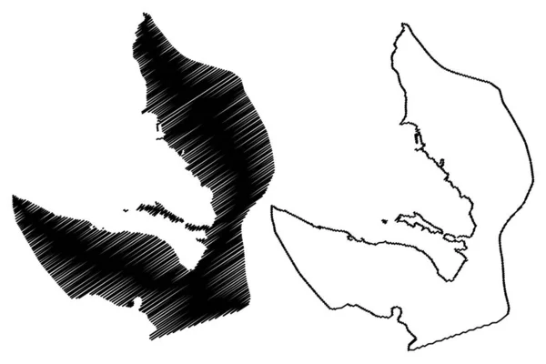
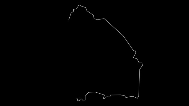
Kalawao County Hawaii County United States America Island Islands Map — 스톡 벡터

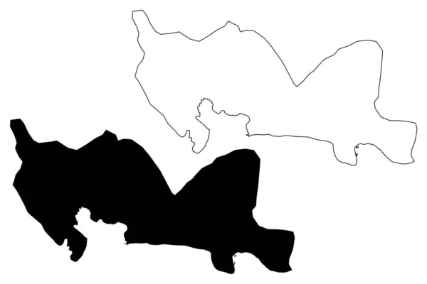
Kalawao County, Hawaii (U.S. County, United States of America, US, US, island, Islands) map vector illustration, scribble sketch Kalaupapa or Makanalua Peninsula map — 벡터

Kalawao County, Hawaii (U.S. County, United States of America, US, US, island, Islands) map vector illustration, scribble sketch Kalaupapa or Makanalua Peninsula map

 — Danler의 벡터

동일 시리즈:

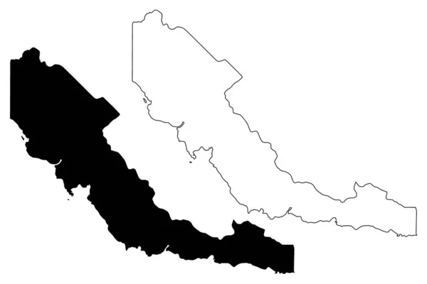
산토 도밍고 주 (도미니카 공화국, 히스파니올라, 도미니카 공화국 의 지방) 지도 벡터 일러스트레이션, 낙서 스케치 산토 도밍고지도
산토 도밍고 주 (도미니카 공화국, 히스파니올라, 도미니카 공화국 의 지방) 지도 벡터 일러스트레이션, 낙서 스케치 산토 도밍고 마 — 스톡 벡터
중부 지방 (파푸아 뉴기니, Png, 파푸아 뉴기니 의 지방 독립 국가) 지도 벡터 일러스트레이션, 낙서 스케치 중앙지도
중부 지방 (파푸아 뉴기니, Png, 파푸아 뉴기니 의 지방 독립 국가) 지도 벡터 일러스트레이션, 낙서 스케치 센트럴 마 — 스톡 벡터
마린 카운티, 캘리포니아 (캘리포니아, 미국된 미국 미국, 미국, 미국 군 우리) 벡터 일러스트 레이 션, 낙서 스케치 마린 지도 지도
마린 카운티, 캘리포니아 지도 벡터 — 스톡 벡터
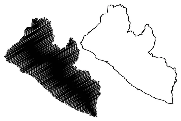
라이베리아 지도 벡터 일러스트 레이 션, 낙서 스케치 라이베리아 공화국
라이베리아 지도 벡터 — 스톡 벡터
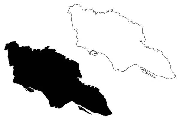
Sarajevo City (Bosnia and Herzegovina, Bosnia Herzegovina) map vector illustration, scribble sketch City of Sarajevo map
Sarajevo City (Bosnia and Herzegovina, Bosnia Herzegovina) map vector illustration, scribble sketch City of Sarajevo map — 스톡 벡터
Westmoreland County, Commonwealth of Virginia ( 미국군, 미국, 미국 ) map vector illustration, scribble sketch Westmoreland map
Westmoreland County Commonwealth Virginia 미국군 Map Vector Illustration Scribble Sketch — 스톡 벡터
Bogra City (Peoples Republic of Bangladesh, Rajshahi Division) map vector illustration, scribble sketch City of Bogura map
Bogra City Peoples Republic Bangladesh Rajshahi Division Map Vector Illustration — 스톡 벡터
마타벨랜드 남부 주 (짐바브웨 공화국, 짐바브웨 주) 지도 벡터 일러스트레이션, 낙서 스케치 마타벨랜드 사우스 맵
마타벨랜드 남부 주 (짐바브웨 공화국, 짐바브웨 주) 지도 벡터 일러스트레이션, 낙서 스케치 마타벨랜드 사우스 맵 — 스톡 벡터
살라 딘 주 (공화국의 이라크, 이라크의 행정 구역) 지도 벡터 일러스트 레이 션, 낙서 스케치 Salah 광고 소음 지방 지도
살라 딘 주 지도 vecto — 스톡 벡터
Nantong City ( 중화 인민공화국, 장수성 ) vector illustration, scribble sketch City of Nantung map
Nantong City 인민공화국 장수성 Vector Illustration Scribble Sketch City Nantung — 스톡 벡터
몬테레이 카운티, 캘리포니아 (캘리포니아, 미국된 미국 미국, 미국, 미국 군 우리) 벡터 일러스트 레이 션, 낙서 스케치 몬테레이 지도 지도
몬테레이 카운티, 캘리포니아 지도 벡터 — 스톡 벡터
Charlevoix County, Michigan (U.S. County, United States of America, US, US) map vector illustration, scribble sketch Charlevoix map
Charlevoix County Michigan County United States America Map Vector Illustration — 스톡 벡터
Kenitra City (Kingdom of Morocco, Rabat-Sale-Kenitra Region) map vector illustration, scribble sketch City of Port Lyautey map
Kenitra City Kingdom Morocco Rabat Sale Kenitra Region Map Vector — 스톡 벡터
Tivat Municipality (Montenegro, Municipalities of Montenegro) vector illustration, scribble sketch Tivat map
Tivat Municipality Montenegro Municipalities Montenegro Vector Illustration Scribble Sketch Tivat — 스톡 벡터
Wahkiakum County, State of Washington (U.S. County, United States of America, US, US) map vector illustration, scribble sketch Wahkiakum map
Wahkiakum County State Washington County United States America Map Vector — 스톡 벡터

사용 정보

표준 또는 확장 라이센스에 따라 이 로열티-프리 "Kalawao County, Hawaii (U.S. County, United States of America, US, US, island, Islands) map vector illustration, scribble sketch Kalaupapa or Makanalua Peninsula map" 벡터 이미지를 개인적 및 상업적 목적으로 사용할 수 있습니다. 표준 라이센스는 광고, UI 디자인, 제품 패키지를 비롯한 대부분의 사용을 커버하며, 최대 500,000부까지 인쇄할 수 있습니다. 확장 라이센스는 무제한 인쇄 권한과 함께 표준 라이센스 하의 모든 사용을 커버하며 다운로드한 벡터 파일을 상품, 제품 재판매 또는 무료 배포에 사용할 수 있도록 합니다.

이 스톡 벡터 이미지는 어떤 크기로든 확장 가능합니다. 구입 시 최대 7087x4726 의 고해상도로 다운로드할 수 있습니다. 업데이트 날짜: 2020년 5월 1일