Louis County Missouri County United States America Map Vector Illustration — 스톡 벡터

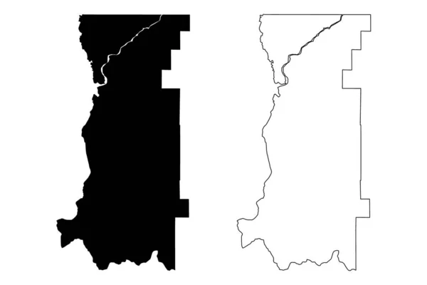
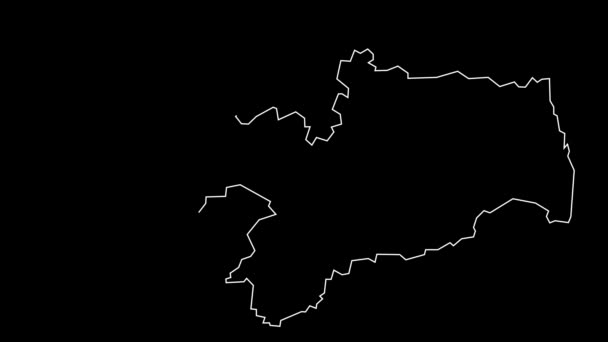
St. Louis County, Missouri (U.S. County, United States of America, US, US) map vector illustration, scribble sketch Saint Louis map — 벡터

St. Louis County, Missouri (U.S. County, United States of America, US, US) map vector illustration, scribble sketch Saint Louis map

 — Danler의 벡터

동일 시리즈:

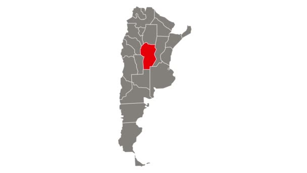
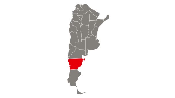
추 부트 (아르헨티나의 지역, 아르헨티나 공화국, 아르헨티나 지방) 지도 벡터 일러스트 레이 션, 낙서 스케치 추 부트 주 지도
아르헨티나의 아르헨티나 공화국 아르헨티나 일러스트 스케치 — 스톡 벡터
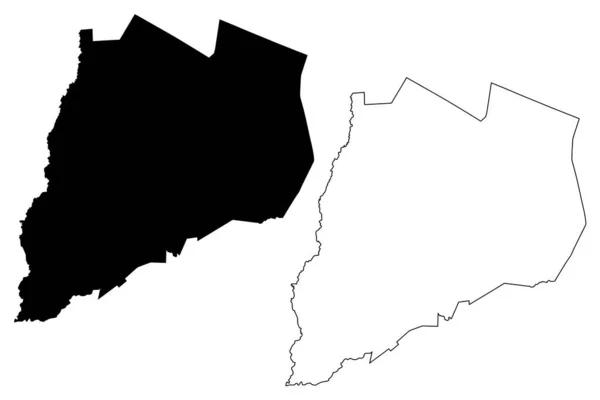
Fayette County, Commonwealth of Pennsylvania (U.S. County, United States of America, US, US) map vector illustration, scribble sketch Fayette map
Fayette County Commonwealth Pennsylvania County United States America Map Vector — 스톡 벡터
Otsego County, New York State (U.S. County, United States of America, US, US) map vector illustration, scribble sketch Otsego map
Otsego County New York State County United States America Map — 스톡 벡터
일리노이 주 풀 라스키군 ( 미국군, 미국, 미국 ) 지도 벡터 삽화, 낙서 스케치 Pulaski map
일리노이 라스키군 미국군 스케치 Pulaski Map — 스톡 벡터
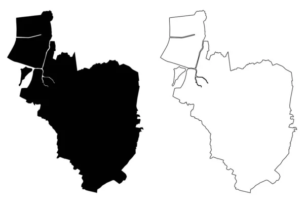
Paranaque City (Republic of the Philippines, Metro Manila, National Capital Region) map vector illustration, scribble sketch City of Paranaque map
Paranaque City Republic Philippines Metro Manila National Capital Region Map — 스톡 벡터
Princes Town region (Regional corporations and municipalities, Republic of Trinidad and Tobago) map vector illustration, scribble sketch Princes Town map
Princes Town region (Regional corporations and municipalities, Republic of Trinidad and Tobago) map vector illustration, scribble sketch Princes Town map — 스톡 벡터
Evangeline County, Louisiana ( 미국군, 미국, 미국 ) map vector illustration, scribble sketch Evangeline Parish map
Evangeline County Louisiana 미국군 Map Vector Illustration Scribble Sketch Evangeline — 스톡 벡터
Barbour County, State of West Virginia (U.S. County, United States of America, US, US) map vector illustration, scribble sketch Barbour map
Barbour County State West Virginia County United States America Map — 스톡 벡터
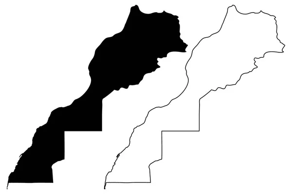
모로코와 서 사하라 지도 벡터 일러스트 레이 션, 낙서 스케치 모로코의 왕국
모로코와 서 사하라 지도 벡터 — 스톡 벡터
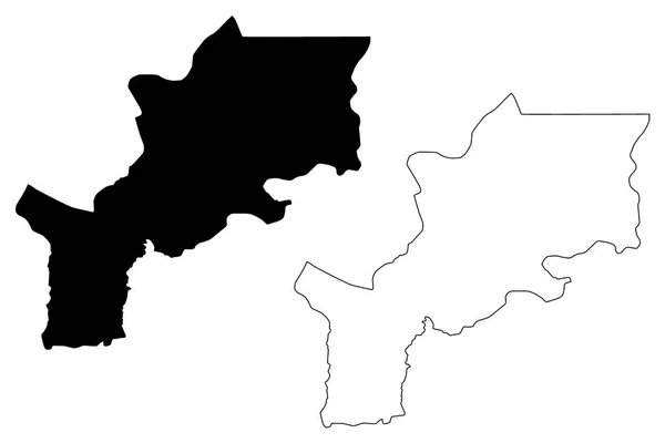
Lomami 주 (민주 공화국 콩고, 콩고, 콩고, 콩고-킨샤사) 지도 벡터 일러스트 레이 션, 낙서 스케치 Lomami 지도
Lomami 공화국 킨샤사 일러스트 스케치 Lomami — 스톡 벡터
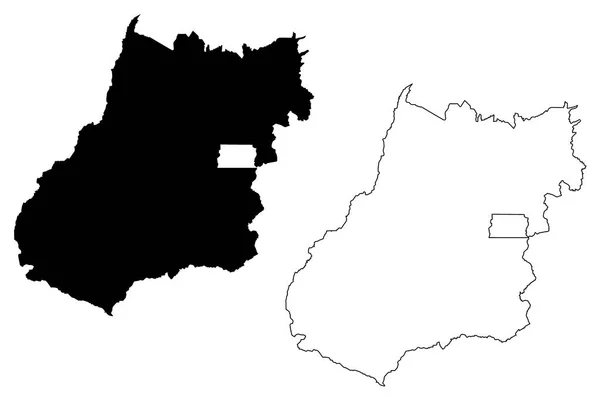
고이 아 스 (지역의 브라질, 연결 된 상태, 브라질 연방 공화국) 지도 벡터 일러스트 레이 션, 고이 아 스 (Goyaz) 지도 그리기 스케치
지역의 브라질 브라질 공화국 일러스트 Goyaz 그리기 스케치 — 스톡 벡터
Stevens County, State of Washington (U.S. County, United States of America, US, US) map vector illustration, scribble sketch Stevens map
Stevens County State Washington County United States America Map Vector — 스톡 벡터
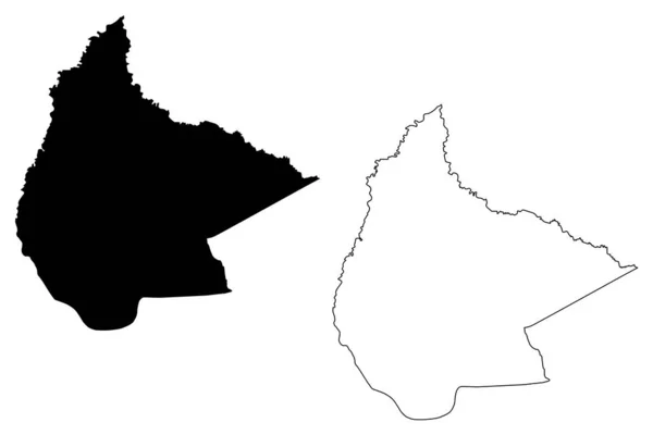
베니학과 (볼리비아 의 Plurinational 상태, 볼리비아의 부서) 지도 벡터 일러스트레이션, 낙서 스케치 엘 베니지도
베니학과 (볼리비아, 볼리비아의 Plurinational 상태) 지도 벡터 일러스트레이션, 낙서 스케치 엘 베니 마 — 스톡 벡터
Liverpool City (United Kingdom of Great Britain and Northern Ireland, UK) map vector illustration, scribble sketch City of Liverpool map
Liverpool City (United Kingdom of Great Britain and Northern Ireland, UK) map vector illustration, scribble sketch City of Liverpool map — 스톡 벡터
King George County, Commonwealth of Virginia ( 미국군, 미국, 미국 ) map vector illustration, scribble sketch King George map
King George County Commonwealth Virginia 미국군 Map Vector Illustration Scribble — 스톡 벡터

사용 정보

표준 또는 확장 라이센스에 따라 이 로열티-프리 "St. Louis County, Missouri (U.S. County, United States of America, US, US) map vector illustration, scribble sketch Saint Louis map" 벡터 이미지를 개인적 및 상업적 목적으로 사용할 수 있습니다. 표준 라이센스는 광고, UI 디자인, 제품 패키지를 비롯한 대부분의 사용을 커버하며, 최대 500,000부까지 인쇄할 수 있습니다. 확장 라이센스는 무제한 인쇄 권한과 함께 표준 라이센스 하의 모든 사용을 커버하며 다운로드한 벡터 파일을 상품, 제품 재판매 또는 무료 배포에 사용할 수 있도록 합니다.

이 스톡 벡터 이미지는 어떤 크기로든 확장 가능합니다. 구입 시 최대 7087x4726 의 고해상도로 다운로드할 수 있습니다. 업데이트 날짜: 2020년 10월 12일