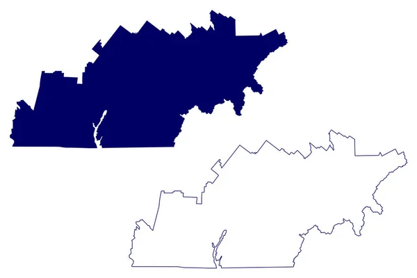
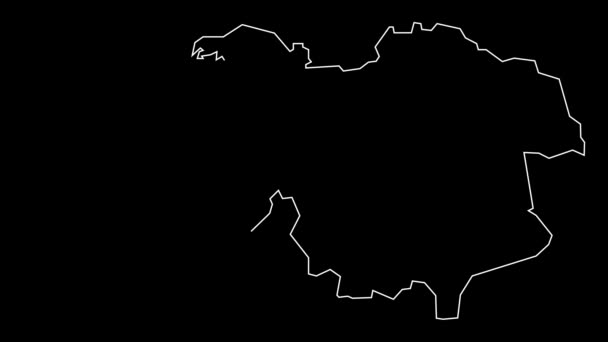
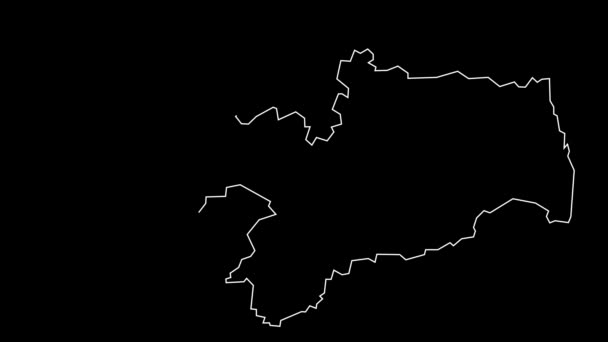
Montgomery County State Tennessee County United States America Map Vector — 스톡 벡터

Montgomery County, State of Tennessee (U.S. County, United States of America, US, US) map vector illustration, scribble sketch Montgomery map — 벡터

Montgomery County, State of Tennessee (U.S. County, United States of America, US, US) map vector illustration, scribble sketch Montgomery map

 — Danler의 벡터

동일 시리즈:

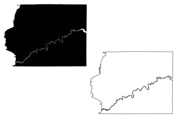
미시시피주데 소토 군 ( 미국군, 미국, 미국 ) 지도 벡터 삽화 , scribble sketch DeSoto map
미시시피주데 미국군 Scribble Sketch Desoto Map — 스톡 벡터
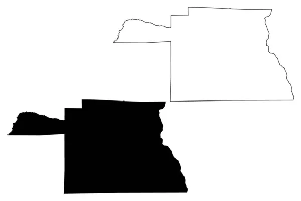
Windham County, State of Vermont (U.S. County, United States of America, US, US) map vector illustration, scribble sketch Windham map
Windham County State Vermont County United States America Map Vector — 스톡 벡터
휴스턴 카운티, 앨라배마 (앨라배마 카운티, 미국, 미국, 미국) 지도 벡터 일러스트레이션, 낙서 스케치 휴스턴지도
휴스턴 카운티, 앨라배마 (앨라배마 카운티, 미국, 미국, 미국) 지도 벡터 일러스트레이션, 낙서 스케치 휴스턴지도 — 스톡 벡터
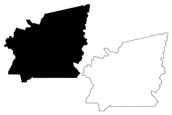
Rabun County, Georgia (U.S. County, United States of America, US, US) map vector illustration, scribble sketch Rabun map
Rabun County Georgia County United States America Map Vector Illustration — 스톡 벡터
Polk County, Oregon State (U.S. County, United States of America, US, US) map vector illustration, scribble sketch Polk map
Polk County Oregon State County United States America Map Vector — 스톡 벡터
Lowndes County, Georgia (U.S. County, United States of America, US, US) map vector illustration, scribble sketch Lowndes map
Lowndes County Georgia County United States America Map Vector Illustration — 스톡 벡터
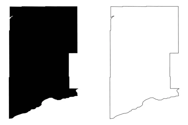
아이 다호 군,아이 다호 ( 미국군, 미국, 미국 ) 지도 벡터 삽화, 낙서 스케치 아이 다호 지도
미국군 스케치 — 스톡 벡터
Skamania County, State of Washington (U.S. County, United States of America, US, US) map vector illustration, scribble skamania map
Skamania County State Washington County United States America Map Vector — 스톡 벡터
벤튼군, 오리건주 ( 미국군, 미국, 미국 ) 지도 벡터 삽화, 낙서 스케치 벤튼 지도
벤튼군 오리건주 미국군 스케치 — 스톡 벡터
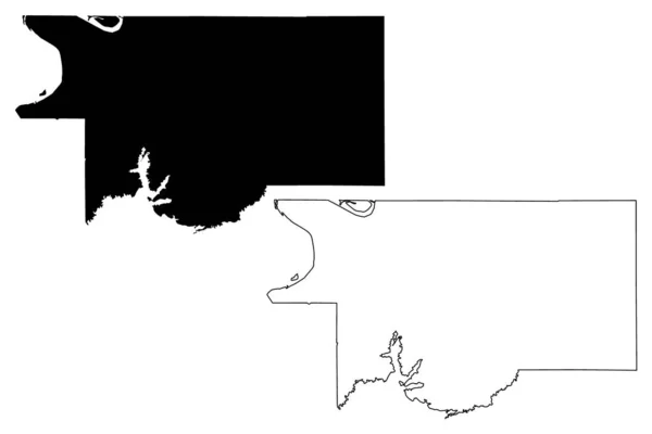
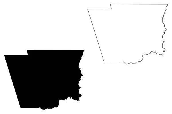
Obion County, State of Tennessee (U.S. County, United States of America, US, US) map vector illustration, scribble sketch Obion map
Obion County State Tennessee County United States America Map Vector — 스톡 벡터
Estrie Administrative region (Canada, Quebec Province, North America) map vector illustration, scribble sketch Estrie map
Estrie Administrative Region Canada Quebec Province North America Map Vector — 스톡 벡터
Halifax County, Commonwealth of Virginia (U.S. County, United States of America, US, US) map vector illustration, scribble sketch Halifax map
Halifax County Commonwealth Virginia County United States America Map Vector — 스톡 벡터
일리노이 주 화이트사이드군 ( 미국군, 미국, 미국 ) 지도 벡터 삽화, 스케치 화이트 사이드 지도
일리노이 화이트사이드군 미국군 스케치 화이트 사이드 — 스톡 벡터
Warren County, North Carolina State (U.S. County, United States of America, US, US) map vector illustration, scribble sketch Warren map
Warren County North Carolina State County United States America Map — 스톡 벡터
서부 분단 ( 감비아 공화국의 분단 ) 벡터 지도 삽화, 낙서 스케치 웨스트 코스트 지역 지도
서부 분단 ( 감비아 공화국의 분단 ) 벡터 지도 삽화, 낙서 스케치 웨스트 코스트 지역 지도 — 스톡 벡터
하딘 카운티, 텍사스 (텍사스, 미국, 미국, 미국) 지도 벡터 일러스트레이션, 낙서 스케치 하딘지도
하딘 카운티, 텍사스 (텍사스, 미국, 미국, 미국) 지도 벡터 일러스트레이션, 낙서 스케치 하딘지도 — 스톡 벡터

사용 정보

표준 또는 확장 라이센스에 따라 이 로열티-프리 "Montgomery County, State of Tennessee (U.S. County, United States of America, US, US) map vector illustration, scribble sketch Montgomery map" 벡터 이미지를 개인적 및 상업적 목적으로 사용할 수 있습니다. 표준 라이센스는 광고, UI 디자인, 제품 패키지를 비롯한 대부분의 사용을 커버하며, 최대 500,000부까지 인쇄할 수 있습니다. 확장 라이센스는 무제한 인쇄 권한과 함께 표준 라이센스 하의 모든 사용을 커버하며 다운로드한 벡터 파일을 상품, 제품 재판매 또는 무료 배포에 사용할 수 있도록 합니다.

이 스톡 벡터 이미지는 어떤 크기로든 확장 가능합니다. 구입 시 최대 7087x4726 의 고해상도로 다운로드할 수 있습니다. 업데이트 날짜: 2020년 12월 22일