미얀마 지도 벡터 — 스톡 벡터

미얀마 지도 벡터 — 벡터

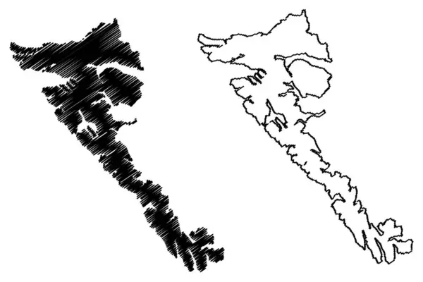
미얀마 지도 벡터 일러스트 레이 션, 낙서 스케치는 연방 미얀마, 버마의 공화국,

 — Danler의 벡터

동일 시리즈:

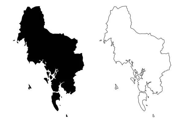
크 라비 지방 (태국, 시암, 태국 지역) 지도 벡터 일러스트 레이 션, 낙서 스케치 크 라비 지도
일러스트 스케치 — 스톡 벡터
Papa Westray island (United Kingdom of Great Britain and Northern Ireland, Scotland, Orkney) map vector illustration, scribble sketch Island of Papay or Papa Westree map
Papa Westray Island United Kingdom Great Britain Northern Ireland Scotland — 스톡 벡터
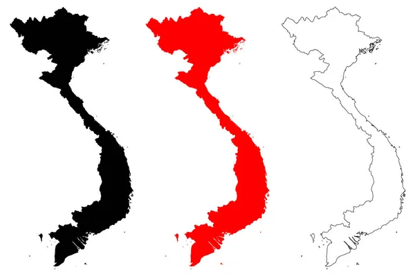
베트남 지도 벡터 일러스트 레이 션, 낙서 스케치 베트남 사회주의 공화국
베트남 지도 벡터 — 스톡 벡터
Eriskay island (United Kingdom of Great Britain and Northern Ireland, Scotland, Outer Hebrides) map vector illustration, scribble sketch map
Eriskay Island United Kingdom Great Britain Northern Ireland Scotland Outer — 스톡 벡터
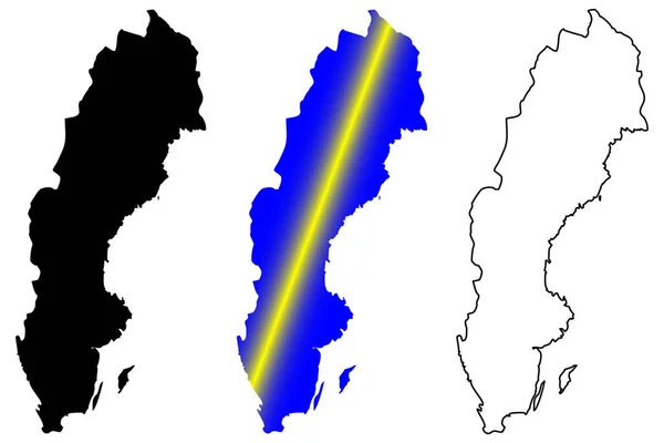
스웨덴 지도 벡터 일러스트 레이 션, 낙서 스케치 스웨덴
스웨덴 지도 벡터 — 스톡 벡터
Los island (Republic of Guinea, Atlantic Ocean, Sangareya Bay) map vector illustration, scribble sketch Iles de Los map
Los Island Republic Guinea Atlantic Ocean Sangareya Bay Map Vector — 스톡 벡터
Lord Howe island (Commonwealth of Australia, Pacific Ocean, New South Wales) map vector illustration, scribble sketch Lord Howes map
Lord Howe Island Commonwealth Australia Pacific Ocean New South Wales — 스톡 벡터
Nidwalden (구획의 스위스, 스위스 구획, 스위스 국가 연합) 벡터 일러스트 레이 션, 낙서 스케치 구획의 니드 왈 드 지도 지도
Nidwalden 구획의 스위스 스위스 스위스 일러스트 스케치 구획의 — 스톡 벡터
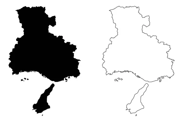
효 고 현 (일본, 현 일본의 행정 구역) 지도 벡터 일러스트 레이 션, 효 지도 그리기 스케치
일본의 일러스트 그리기 스케치 — 스톡 벡터
언게 니 지역 ( 몰도바 공화국, 몰도바의 행정 구역 ) 벡터 삽화, 낙서 스케치 ungheni map
언게 니 지역 ( 몰도바 공화국, 몰도바의 행정 구역 ) 벡터 삽화, 낙서 스케치 ungheni map — 스톡 벡터
Bryher Island (United Kingdom of Great Britain and Northern Ireland, England) vector illustration, scribble sketch Island of Breyer map
Bryher Island United Kingdom Great Britain Northern Ireland England Vector — 스톡 벡터
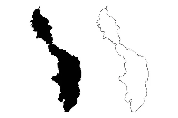
볼리바르 부서 (콜롬비아, 콜롬비아의 공화국, 콜롬비아 부서) 지도 벡터 일러스트 레이 션, 낙서 스케치 볼리바르의 부 지도
볼리바르 콜롬비아 콜롬비아의 공화국 콜롬비아 일러스트 스케치 볼리바르의 — 스톡 벡터
Monufia 주 (이집트의 행정 구역, 이집트 아랍 공화국) 지도 벡터 일러스트 레이 션, 낙서 스케치 Monufia 지도
Monufia 이집트의 이집트 공화국 일러스트 스케치 Monufia — 스톡 벡터
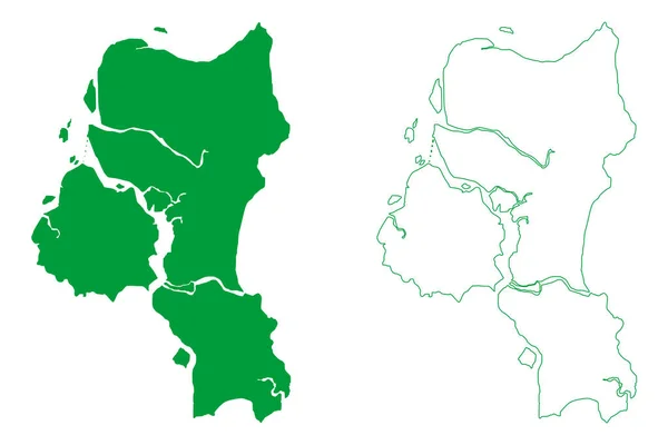
Cairu municiality (Bahia state, Municipalities of Brazil, Federative Republic of Brazil) vector illustration, scribble sketch Cairu map
Cairu Municiality Bahia State Municipalities Brazil Federative Republic Brazil Vector — 스톡 벡터
사 툰 지방 (태국, 시암, 태국 지역) 지도 벡터 일러스트 레이 션, 낙서 스케치 사 툰 지도
일러스트 스케치 — 스톡 벡터
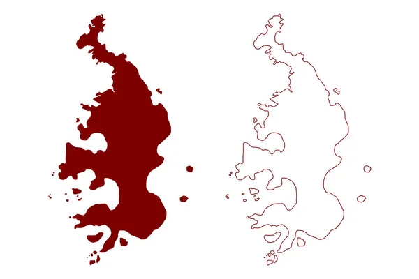
모레스비 섬 ( 캐나다, 브리티시컬럼비아주, 북아메리카, 하이다 기피 군도 ) 벡터 삽화, 낙서 스케치 모레스 비지도
모레스비 캐나다 브리티시컬럼비아주 북아메리카 하이다 스케치 모레스 비지도 — 스톡 벡터

사용 정보

표준 또는 확장 라이센스에 따라 이 로열티-프리 "미얀마 지도 벡터" 벡터 이미지를 개인적 및 상업적 목적으로 사용할 수 있습니다. 표준 라이센스는 광고, UI 디자인, 제품 패키지를 비롯한 대부분의 사용을 커버하며, 최대 500,000부까지 인쇄할 수 있습니다. 확장 라이센스는 무제한 인쇄 권한과 함께 표준 라이센스 하의 모든 사용을 커버하며 다운로드한 벡터 파일을 상품, 제품 재판매 또는 무료 배포에 사용할 수 있도록 합니다.

이 스톡 벡터 이미지는 어떤 크기로든 확장 가능합니다. 구입 시 최대 7087x4724 의 고해상도로 다운로드할 수 있습니다. 업데이트 날짜: 2018년 1월 2일