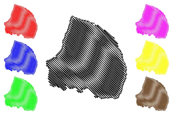
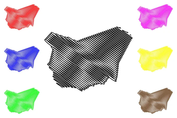
우루과이 지도 벡터 — 스톡 벡터

우루과이 지도 벡터 — 벡터

우루과이 지도 벡터 일러스트 레이 션, 낙서 스케치 우루과이

 — Danler의 벡터

동일 시리즈:

La Blanquilla Island (Bolivarian Republic of Venezuela, Cenrtal America, Caribbean Islands) vector illustration, scribble sketch Isla de La Blanquilla map
Blanquilla Island Bolivarian Republic Venezuela Cenrtal America Caribbean Islands Vector — 스톡 벡터
Santiago island (Republic of Cabo Verde, Cape Verde, archipelago) vector illustration, scribble sketch Santiago map
Santiago Island Republic Cabo Verde Cape Verde Archipelago Vector Illustration — 스톡 벡터
할라파 부 (과테말라 공화국, 과테말라 부서) 지도 벡터 일러스트레이션, 낙서 스케치 할라파지도
할라파 부 (과테말라 공화국, 과테말라 부) 지도 벡터 일러스트레이션, 낙서 스케치 할라파 마 — 스톡 벡터
Sale City (Kingdom of Morocco, Rabat-Sale-Kenitra Region) map vector illustration, scribble sketch City of Salli or Sallee map
Sale City Kingdom Morocco Rabat Sale Kenitra Region Map Vector — 스톡 벡터
Hopkins County, Kentucky (U.S. County, United States of America, US, US) map vector illustration, scribble sketch Hopkins map
Hopkins County Kentucky County United States America Map Vector Illustration — 스톡 벡터
Haute-Marne Department ( 프랑스 공화국 , Grand Est 지역 ) map vector illustration, scribble sketch Haute-Marne map
Haute Marne Department 프랑스 공화국 Grand Est Map Vector Illustration — 스톡 벡터
Ulaanbaatar Province (aimags, provincts of Mongolia) map vector illustration, scribble sketch Ulan Bator 지방 자치구 aimag map
Ulaanbaatar Province (aimags, provincts of Mongolia) map vector illustration, scribble sketch Ulan Bator 지방 자치구 aimag MA — 스톡 벡터
몬타나 지도 벡터 일러스트 레이 션, 낙서 스케치 몬타나 지도 검정, 빨강, 파랑, 녹색, 노란색, 보라색
몬타나 일러스트 스케치 몬타나 노란색 보라색 — 스톡 벡터
Bobo-Dioulasso City (Republic of Burkina Faso, Hauts-Bassins Region) map vector illustration, scribble sketch of Bobo Dioulasso map
Bobo Dioulasso City Republic Burkina Faso Hauts Bassins Region Map — 스톡 벡터
Cote-dor Department ( 프랑스 공화국, 부르고뉴 프랑슈 콩트 지역 , BFC) vector illustration, scribble sketch Cote-dOr map
Cote Dor Department 프랑스 공화국 부르고뉴 프랑슈 Bfc Vector Illustration — 스톡 벡터
Teofilandia municiality (Bahia state, Municipalities of Brazil, Federative Republic of Brazil) vector illustration, scribble sketch map
Teofilandia Municiality Bahia State Municipalities Brazil Federative Republic Brazil Vector — 스톡 벡터
노르보텐 카운티 (스웨덴 의 카운티, 스웨덴의 왕국) 지도 벡터 일러스트, 낙서 스케치 노르 보텐지도
노르보텐 카운티 (스웨덴 의 카운티, 스웨덴의 왕국) 지도 벡터 일러스트, 낙서 스케치 노르 보텐지도 — 스톡 벡터
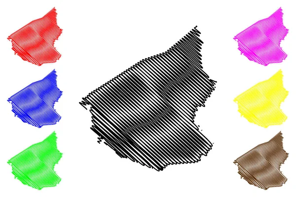
Pendleton County, State of West Virginia (U.S. County, United States of America, US, US) map vector illustration, scribble sketch Pendleton map
Pendleton County State West Virginia County United States America Map — 스톡 벡터
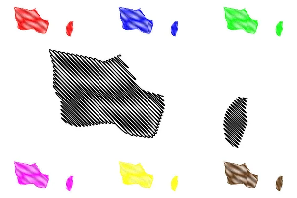
페르난디나 섬 ( 에콰도르 공화국, 태평양, 라틴 또는 남아메리카, 갈라파고스 제도 , Archipielago de Colon) vector illustration, scribble sketch Isla Narborough map
페르난디나 에콰도르 공화국 태평양 남아메리카 갈라파고스 Archipielago Colon Vector Illustration — 스톡 벡터
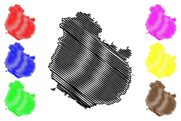
브락 섬 ( 크로아티아 공화국, 달마티아 아치 필라 고, 아드리아해 ) 벡터 그림, 낙서 스케치 지도
크로아티아 공화국 달마티아 아드리아해 스케치 — 스톡 벡터

사용 정보

표준 또는 확장 라이센스에 따라 이 로열티-프리 "우루과이 지도 벡터" 벡터 이미지를 개인적 및 상업적 목적으로 사용할 수 있습니다. 표준 라이센스는 광고, UI 디자인, 제품 패키지를 비롯한 대부분의 사용을 커버하며, 최대 500,000부까지 인쇄할 수 있습니다. 확장 라이센스는 무제한 인쇄 권한과 함께 표준 라이센스 하의 모든 사용을 커버하며 다운로드한 벡터 파일을 상품, 제품 재판매 또는 무료 배포에 사용할 수 있도록 합니다.

이 스톡 벡터 이미지는 어떤 크기로든 확장 가능합니다. 구입 시 최대 7087x4724 의 고해상도로 다운로드할 수 있습니다. 업데이트 날짜: 2017년 9월 29일