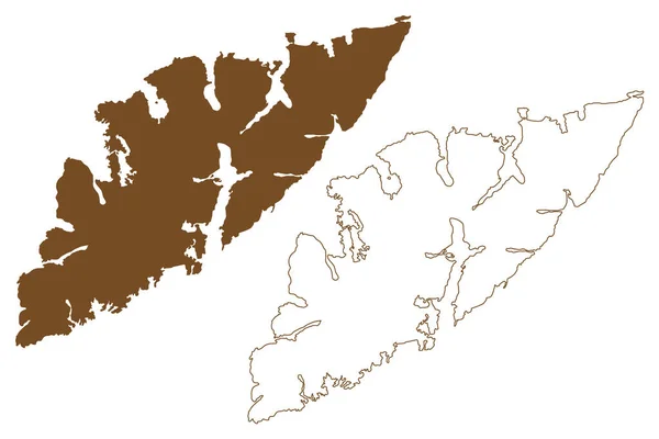
Ytter Vikna Island 노르웨이 Map Vector Illustration Scribble Sketch Ytter — 스톡 벡터

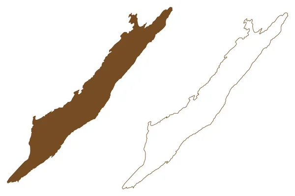
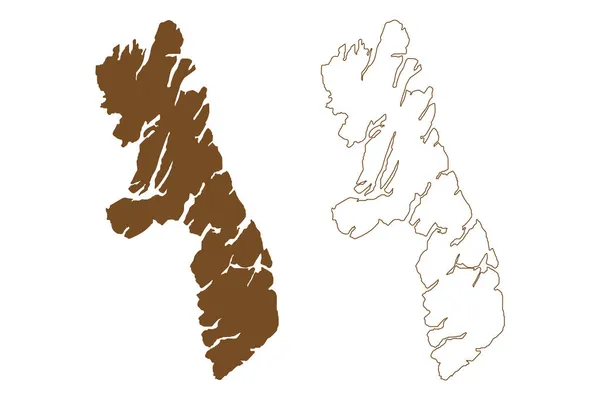
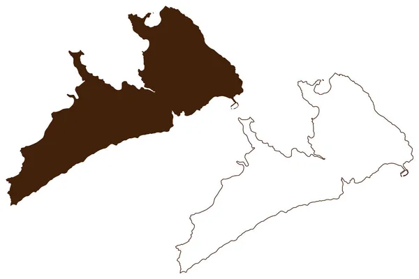
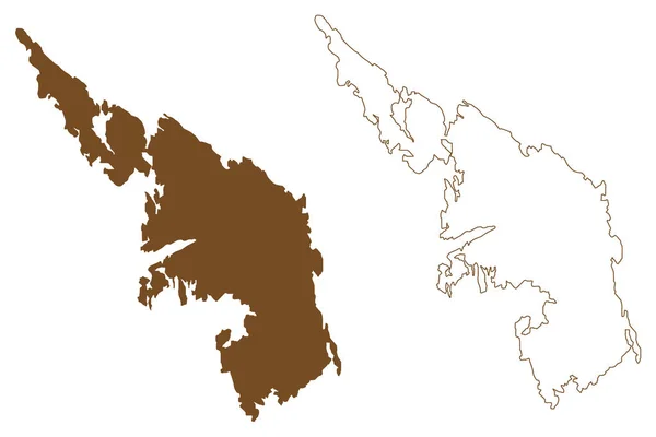
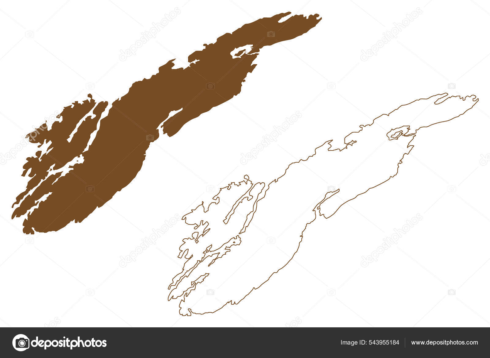
Ytter-Vikna Island ( 노르웨이 왕국 ) map vector illustration, scribble sketch Ytter Vikna map — 벡터

Ytter-Vikna Island ( 노르웨이 왕국 ) map vector illustration, scribble sketch Ytter Vikna map

 — Danler의 벡터

동일 시리즈:

Austvagoy island (Kingdom of Norway, Lofoten Archipelago) map vector illustration, scribble sketch Austvagoya map
Austvagoy Island Kingdom Norway Lofoten Archipelago Map Vector Illustration Scribble — 스톡 벡터
Prince of waleshyder Census area, Alaska (boroughs and Census area in Alaska, the boroughs and Census area in Alaska, the United States, US, US, us) 맵 벡터 삽화, 스케치 프린스 오브 웨일스 외곽 케치 칸 지도
Prince of waleshyder Census area, Alaska (boroughs and Census area in Alaska, the boroughs and Census area in Alaska, the United States, US, US, us) 맵 벡터 삽화, 스케치 프린스 오브 웨일스 외곽 케치 칸 지도 — 스톡 벡터
Agathonisi island (Hellenic Republic, Greece) map vector illustration, scribble sketch Agathonisi map
Agathonisi Island Hellenic Republic Greece Map Vector Illustration Scribble Sketch — 스톡 벡터
황해남도(조선민주주의인민공화국, 조선민주주의인민공화국, 조선민주주의인민공화국, 조선민주주의인민공화국) 지도 벡터 일러스트, 낙서 스케치 황해남도 지도
황해남도 지도 벡토 — 스톡 벡터
Housay Island (United Kingdom of Great Britain and Northern Ireland, Scotland, Shetland Islands) map vector illustration, scribble skerries, West, Bruray and Grunay map
Housay Island United Kingdom Great Britain Northern Ireland Scotland Shetland — 스톡 벡터
스카이 섬 (United Kingdom of Great Britain and Northern Ireland, Inner Hebrides, Scotland) vector illustration, scribble sketch Island of Sky map
스카이 United Kingdom Great Britain Northern Ireland Inner Hebrides Scotland — 스톡 벡터
살라미스 섬 ( 그리스, 그리스, 아티카 ) 벡터 지도 삽화, 스케치 한 살 라미스 지도
살라미스 그리스 그리스 아티카 스케치 라미스 — 스톡 벡터
Pagan island (Commonwealth of the Northern Mariana Islands, Pacific Ocean, United States of America, USA) map vector illustration, scribble sketch Pagan map
Pagan Island Commonwealth Northern Mariana Islands Pacific Ocean United States — 스톡 벡터
Housay Island (United Kingdom of Great Britain and Northern Ireland, Scotland, Shetland Islands) map vector illustration, scribble skerries, West, Bruray and Grunay map
Housay Island United Kingdom Great Britain Northern Ireland Scotland Shetland — 스톡 벡터
Fagelbrolandet island (Kingdom of Sweden) map vector illustration, scribble sketch Fagelbrolandet map
Fagelbrolandet Island Kingdom Sweden Map Vector Illustration Scribble Sketch Fagelbrolandet — 스톡 벡터
Lismore Island (United Kingdom of Great Britain and Northern Ireland, Scotland) vector illustration, scribble sketch Ile of Lismore map
Lismore Island United Kingdom Great Britain Northern Ireland Scotland Vector — 스톡 벡터
캄파나섬 ( 칠레 공화국, 남아메리카 공화국 ) 지도 벡터 삽화, 스케치 한 그림 Isla Campana map
캄파나섬 공화국 남아메리카 공화국 스케치 Isla Campana Map — 스톡 벡터
Chergui island (Republic of Tunisia, Kerkenna Islands) vector illustration, scribble sketch Chergui map
Chergui Island Republic Tunisia Kerkenna Islands Vector Illustration Scribble Sketch — 스톡 벡터
Askoy Island ( 노르웨이 왕국 ) vector illustration, scribble skoy map
Askoy Island 노르웨이 Vector Illustration Scribble Skoy Map — 스톡 벡터
에 드미 럴티 섬 ( 미국, 북아메리카, 알래스카, 미국 ) vector illustration, scribble sketch Admiralty Island National Monument map
북아메리카 알래스카 Vector Illustration Scribble Sketch Admiralty Island National Monument — 스톡 벡터
Mull island (United Kingdom of Great Britain and Northern Ireland, Scotland) map vector illustration, scribble sketch Island of Mull map
Mull Island United Kingdom Great Britain Northern Ireland Scotland Map — 스톡 벡터

유사 스톡 비디오:
이 지도는 태국을 보여 주고 있다. 태국의 지도 2d. 4k
이 지도는 태국을 보여 주고 있다. 2d ( 타이 지도 ). — 비디오
미국 통합 상태에서 터키의 주를 보여 주는 만화 지도입니다. 터키의 지도 2d. 4k
미국 통합 상태에서 터키의 주를 보여 주는 만화 지도입니다. 2d ( 터키어 ) 지도. — 비디오
Borders drawing outline map of Germany, geographic borders of the country deutschland, deutsch land. High quality 4k footage
Borders drawing outline map of Germany, geographic borders of the country deutschland, deutsch land — 비디오
룩셈부르크의 애니메이션 지도. 고립된 비디오입니다. 흰색 배경은 검은 색. 모션 디자인 4k.
룩셈부르크의 애니메이션 지도. 고립된 비디오입니다. 흰색 배경은 검은 색. 모션 디자인. — 비디오
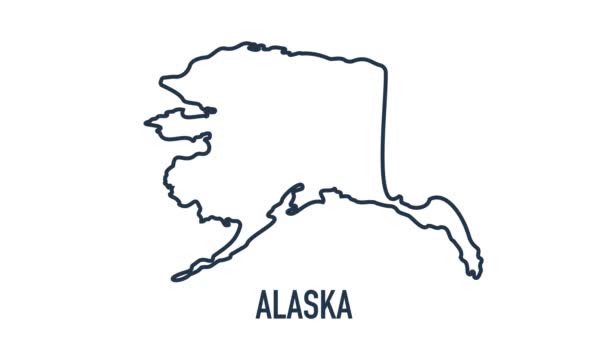
알래스카 주가 합쳐진 미국의 모습을 그린 만화 지도입니다. 알래스카 2d 의 지도. 4k
알래스카 주가 합쳐진 미국의 모습을 그린 만화 지도입니다. 알래스카 의 2d 도. — 비디오
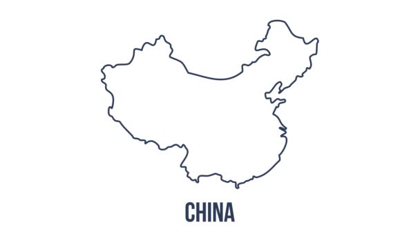
선은 정지 운동 효과로 중국의 국기를 표시한다. 중국은 붓을 휘두르는 배경을 국기로 표시한다. 4k
선은 정지 운동 효과로 중국의 국기를 표시한다. 중국 국기 붓을 휘두르는 그림 배경. — 비디오
Japan Map Showing Up Intro By Regions. 모션 그래픽 디자인
Japan Map Showing Up Intro By Regions — 비디오
알파 채널 이 있는 핀란드 애니메이션 지도. 모션 4k 디자인
알파 채널이 달린 핀란드 애니메이션 지도. — 비디오
유럽 지도 손 그리기
유럽 지도 손 그리기 — 비디오
알바니아의 애니메이션 지도. ( 영어 ) Gray Blank Albania Map on White Background. 4K Ultra HD World Map Animation.
알바니아의 애니메이션 지도. ( 영어 ) Gray Blank Albania Map on White Background. 4K 세계 지도 애니메이션. — 비디오
터키 지도 아이콘은 배경에 분리되어 있습니다. 4K 비디오 모션 그래픽 애니메이션
터키 지도 아이콘은 배경에 분리되어 있습니다. 4K 비디오 모션 그래픽 애니메이션. — 비디오
빈티지 지도 영국, 영국, 영국.
빈티지 지도 영국, 영국 — 비디오
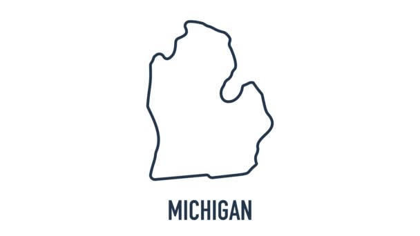
미국의 통일 된 주에서 미 시간 주를 보여 주는 만화 지도입니다. 미 시간 의 2d 지도. 4k
미국의 통일 된 주에서 미 시간 주를 보여 주는 만화 지도입니다. 미 시간 2d 도. — 비디오
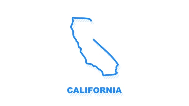
미국의 통합 상태에서 캘리포니아 주를 보여 주는 만화 지도입니다. 모션 그래픽
미국의 통합 상태에서 캘리포니아 주를 보여 주는 만화 지도입니다. 모션 그래픽. — 비디오
이탈리아 지도 아이콘은 배경에 분리되어 있습니다. 4K 비디오 모션 그래픽 애니메이션
이탈리아 지도 아이콘은 배경에 분리되어 있습니다. 4K 비디오 모션 그래픽 애니메이션. — 비디오
미국된 국가의 미국 지도
미국된 국가의 미국 지도 — 비디오
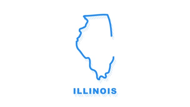
미국의 통합 된 주에서 일리노이 주를 보여 주는 만화 지도입니다. 모션 그래픽
미국의 통합 된 주에서 일리노이 주를 보여 주는 만화 지도입니다. 모션 그래픽. — 비디오
유럽 연합 지도 Brexit-영국을 설명 하기 위해 애니메이션 한 증발 스팀 효과로 제외
유럽 연합 지도 Brexit-영국을 설명 하기 위해 애니메이션 한 증발 스팀 효과로 제외 — 비디오

사용 정보

표준 또는 확장 라이센스에 따라 이 로열티-프리 "Ytter-Vikna Island ( 노르웨이 왕국 ) map vector illustration, scribble sketch Ytter Vikna map" 벡터 이미지를 개인적 및 상업적 목적으로 사용할 수 있습니다. 표준 라이센스는 광고, UI 디자인, 제품 패키지를 비롯한 대부분의 사용을 커버하며, 최대 500,000부까지 인쇄할 수 있습니다. 확장 라이센스는 무제한 인쇄 권한과 함께 표준 라이센스 하의 모든 사용을 커버하며 다운로드한 벡터 파일을 상품, 제품 재판매 또는 무료 배포에 사용할 수 있도록 합니다.

이 스톡 벡터 이미지는 어떤 크기로든 확장 가능합니다. 구입 시 최대 7087x4726 의 고해상도로 다운로드할 수 있습니다. 업데이트 날짜: 2022년 1월 26일