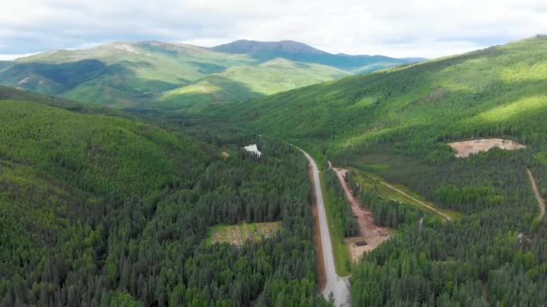
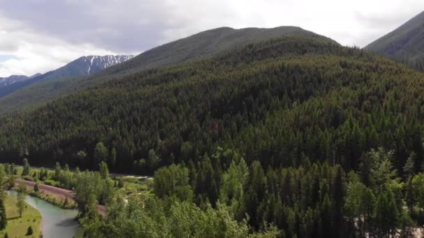
HD Aerial Drone View Of I-70 American Interstate Highway Surrounded By Green Forest Landscape During Beautiful Cloudy Summertime Season Day. — 스톡 푸티지

HD Aerial Drone View Of I-70 American Interstate Highway Surrounded By Green Forest Landscape During Beautiful Cloudy Summertime Season Day.

 — BlackBoxGuild의 비디오

동일 시리즈:

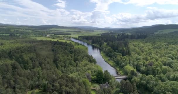
Aberdeenshire 에 있는 Dee 강을 따라 동쪽으로 향하는 공중 촬영을 따라가다
Aberdeenshire Dee 동쪽으로 향하는 촬영을 따라가다 — 비디오
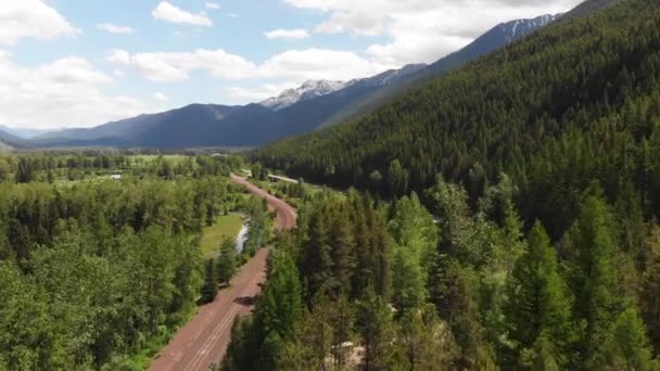
아름다운 눈덮인 산들 과 숲으로 뒤덮인 언덕들이 뒤덮여 있는 몬태나주의 글레이셔 공원을 가로지르는 도로, 철로, 강을 공중에서 찍은 카메라 가 앞으로 나아간다.
아름다운 눈덮인 숲으로 뒤덮인 언덕들이 뒤덮여 몬태나주의 글레이셔 공원을 가로지르는 — 비디오
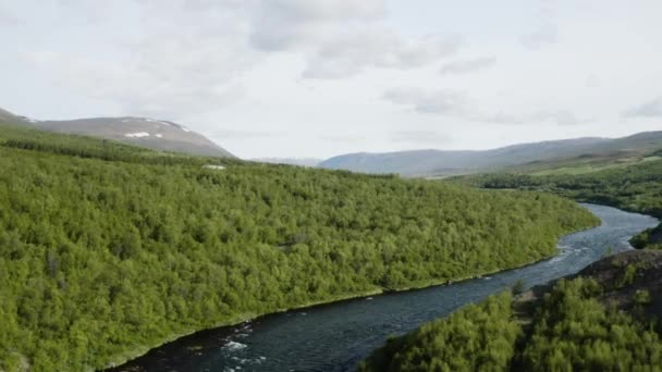
AERIAL - Fnjoska river and hills, Vaglaskogur Forest, Fnjoskadalur, Iceland, rising
Aerial Fnjoska River Hills Vaglaskogur Forest Fnjoskadalur Iceland Rising — 비디오
여름의 날, 알래스카 데날리 국립 공원 근처에 있는 산 봉우리와 그란 티 크리크 의 4K 드론 영상
여름의 알래스카 데날리 근처에 봉우리와 크리크 — 비디오
Aerial view of a river cutting through the landscape
Aerial View River Cutting Landscape — 비디오
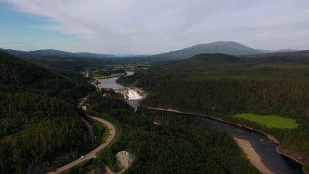
Aerial view towards the Nedre Fiskumfossen dam, in Trondelag, Norway - approaching, drone shot
Aerial View Nedre Fiskumfossen Dam Trondelag Norway Approaching Drone Shot — 비디오
( 영어 ) Chena Hot Springs Road 의 4K Drone Video at Entrance of Convention Center and Resort near Alaska, Summer
Chena Hot Springs Road Drone Video Entrance Convention Center Resort — 비디오
Nenana 강변에 있는 Nenana 강을 따라 있는 데날리 공원 마을 의 4K 드론 영상 George Parks Highway Alaska Route 3 Near Denali State Park, AK
Nenana 강변에 Nenana 데날리 George Parks Highway Alaska Route Denali — 비디오
An aerial view of Tern Lake near Cooper Landing, Alaska. This is the intersection that connects Anchorage with Seward and Kenai.
Aerial View Tern Lake Cooper Landing Alaska Intersection Connects Anchorage — 비디오
캐나다 자연 경관의 아름다운 호수의 공중 풍경. 이스트 쿠 테 나이, 브리티시컬럼비아주, 캐나다.
캐나다 경관의 아름다운 호수의 이스트 브리티시컬럼비아주 캐나다 — 비디오
4K Drone Video of Beautiful Chena River as it runs through Pine Tree Covered Mountains near Chena Hot Springs, Alaska in Summertime
Drone Video Beautiful Chena River Runs Pine Tree Covered Mountains — 비디오
( 영어 ) 4K Drone Video of Hurricane Gulch Bridge on George Parks Highway Alaska Route 3 Near Denali State Park
Drone Video Hurricane Gulch Bridge George Parks Highway Alaska Route — 비디오
4K Drone Video of Boreal Forest along Chulitna River near Denali State Park in Alaska
Drone Video Boreal Forest Chulitna River Denali State Park Alaska — 비디오
Dron Flat A View of Front Pajaro Advancing on SH21 Going down to TheTh Valley.
Dron Flat View Front Pajaro Advancing Sh21 Going Theth Valley — 비디오
글렌 로치 위를 날면서 틴 드럼으로 가는 항공로 와 로 치 강
날면서 드럼으로 항공로 — 비디오
아래쪽 골짜기를 굽이쳐 흐르는 숲 이우 거진 푸른 산들을 공중에서 찍은 카메라는 소나무 꼭대기를 천천히 앞으로 나아간다.
아래쪽 골짜기를 굽이쳐 흐르는 산들을 공중에서 카메라는 소나무 꼭대기를 천천히 — 비디오

사용 정보

표준 라이센스에 따라 이 로열티-프리 "HD Aerial Drone View Of I-70 American Interstate Highway Surrounded By Green Forest Landscape During Beautiful Cloudy Summertime Season Day." 비디오를 개인적 및 상업적 목적으로 사용할 수 있습니다. 표준 라이센스는 웹사이트와 앱의 광고 및 UI 디자인을 비롯한 대부분의 사용을 커버합니다.

이 스톡 푸티지 구입 시 최대 3840x2160 의 고해상도로 다운로드할 수 있습니다.